A writer and a tropical muse. A funky Lubavitcher who enjoys watching the weather, hurricanes, listening to music while enjoying life with a sense of humor and trying to make sense of it all!
Wednesday, May 15, 2019
May 15th Start of the EPAC Hurricane Season - 2 Weeks til Atlantic Hurricane Season. Signs of Chance Down the Road
First off this is our world above.
A continuous flow from the Pacific to the Atlatnic.
Heavy precipitation over Florida.
Early start to the Monsoon Season in South Florida.
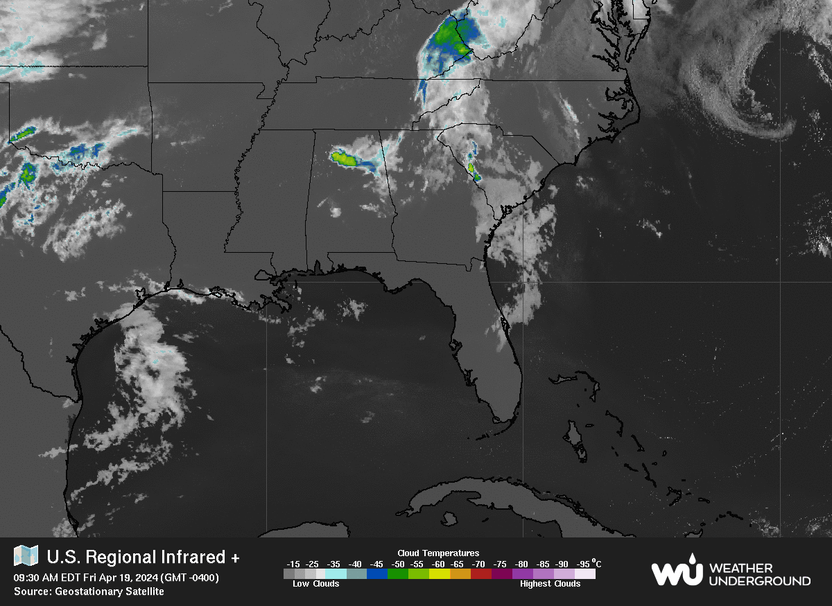
A last minute reprieve of cool weather before summer starts.
It's 63 degrees in Raleigh as I type this but it will be 91 on Saturday.
These late Spring intrusions of cool weather are nice.
They do bring the threat of severe weather.
The five day expectations are rather high in two areas.
A huge two fold threat across the plains.
Severe weather.
Flooding could be a secondary problem.
River flooding depends on the location of the actual rain.
But potential for wild weather has every chaser in the plains.
And look at Florida.
One part of the moisture pulls North.
Another part heads East.
Below the graphics show the EPAC concerns...
....as well as a good bird's eye view of possibilities.
As I have mentioned previous there is moisture congregating.
Moisture hanging out and lingering is the first sign.
That goes for the Pacific and the Atlantic.
Storms fly off of South America and linger in the EPAC.
That process is the same as us watching Africa for storms.
Note the green color in the second middle graphic.
Rain expected... heightened potential.
Note the bottom middle pattern.
Tropical intensity index bright red.
Note some orange is creeping into the Caribbean.
I suppose we can call this Tropical Hollywood Squares :)
The truth is I love Mike's mind the way I love Anastasia eye shadow palettes in that they are put together perfectly to draw you in and make you want more. Mike, who plays at being silly and is silly, is brilliant and displays his graphics in such a way as to help you see the larger picture. They are positioned in a way to help you understand the various factors in the type of weather you are trying to find. Understanding Tropical Meteorology is a whole different layer of meteorology than asking if it will snow this week or when the drought might end. Tropical meteorology and forecasting is complicated as there are so many factors that are added it's like trying to taste one flavor while eating the Kitchen Sink Ice Cream Bowl at a late night trip to your favorite ice cream parlor. And when I say Ice Cream Parlor I mean the real thing not Menchie's which is fun but not a real Ice Cream Parlor! For those who drink it's like trying to taste the gin in a Long Island Ice Tea!
Factors are many and how they interact is complicated.
Shear forecasts.
Warm Water Temperatures.
Saharan Dust Forecasts.
MJO
El Nino
The list goes on and on.
There's a simple list and a complicated one.
Pick your favorite flavor.
Yet one factor adds to or detracts from the sum total.
The sum total is this today.
Epac season has started.
The names for the Eastern PACIFIC are below.
We will not be seeing Flossie or Zelda in the Atlantic.
We will be seeing Fernand and Gabrielle.
Will we see Melissa in the Atlantic? Maybe.
This is the time of year that SAL flows....
And tornado chasers chase.
And warm water around Florida ups the ante for problems.
Convection in the Bahamas.
Or odd systems forming Mid Atlantic going Subtropical.
This is what we look for the in the Atlantic this time of year.
And usually the Epac gets a storm first.
No two years are exactly alike.
So stay tuned and make sure you got what you need.
Thanksgiving Day Forecast.... Frigid Temperatures for the Macy's Day Parade... Starbucks Latte VS Frappe Unless You Live in Florida - Winter Make Up :)
That's today.
November 20th, 2018.
The year winter came early.
Talking mittens, gloves, hat, scarf ... stay home inside?
Stay home sipping hot chocolate under a cover ;)
The Parade is on TV you know :)
I spent my lifetime watching it on TV.
You'll survive I promise..
21 degrees for Thursday.
Oh wait that was yesterday's forecast.
Look below.... now it's down to 19 degrees!!!
Check out Thursday's Low above. 19 degrees
Ya...that's winter weather not fall temperatures.
Sometimes you have to throw out the rule book and deal with what is and not what should be. It's like when a hurricane forms in June or a strong Tropical Storm pops up in May... you can't say "hey it's not Hurricane Season yet" you have to get supplies, make a plan and watch Cantore in the surf on TWC until your power goes out. In NYC and NJ the powers that be erred on the side of "it's not winter yet" and we saw what a mess Winter Storm Avery made. In Maryland where they were treating the roads and being "all melodramatic" they were better prepared to deal with the snow. As my Daddy used to tell me "you gotta do what you gotta do" and that means treating this storm and the cold weather that follows it as if winter is here and the calendar is irrelevant. If we get a December thaw "nice" but if not ... button up your overcoat and do what you got to do.
If you are traveling by car make sure you have blankets, extra food and drinks with you as the walk into the service plaza or Truck Stop will make you feel like one of Santa's Elves. If you're flying, hope you don't get stuck anywhere. If you and your loved ones have asthma or any health problem make sure you bring along your medication. It's easy to say "let's hope these forecasts" are "melodramatic" but I'd err on the side of caution, hope for the best and prepare for the worst. By the way... the worst will come AFTER Thanksgiving if the long term models are correct and they are currently in good agreement! And, what concerns me is how cold the ground gets, how much it warms up when the temperatures moderate before the next polar blast comes through. I'll deal with long term models tomorrow or Thursday.
Sadly another thing I want to mention today is......... the smoke from the fires is caught up in the atmosphere and the horrible possibility of rain in California that would immediately create mudslides. I lived there ... they go hand in hand. First comes fire then comes rain and there is nothing to hold back the ground and it slides down the hill. There are many, many people missing and many more will be declared dead as the death toll rises daily. If you think hurricanes are bad... generally I'd take a hurricane any day than a hillside that goes up in flames and then what's left slides down to the valley below. So perhaps while giving thanks for all you have this year... pray ... and give some charity. I know I am and many of my friends have been doing so.
I'm not sure what I'm actually doing on Thanksgiving yet. The family isn't meeting anywhere, it's one of those years with three new babies the different couples are fending for themselves and my brother is doing something (not sure what) and my husband and I may go see my mother-in-law . . . up in Maryland in her Rest Home...or we may stay home and eat good food, watch football and buy presents for Chanukah which comes early this year the same way winter is coming early. Road trips are always good; maybe I'll take in a movie . . .
I may make Turkey Benedict for breakfast the way I did last year in Miami for the kids as we were going to Abeulita's house to be with my daughter-in-law's family. She had the baby, it's a girl named Lucy :) and I need to buy more clothes for Miss Lucy so that's my life. I may use fake hollandaise sauce or fake turkey... it came out really good last year. Or... we'll figure it out. North Carolina isn't going to be that cold, but it will be cold with a low somewhere around 25. Maybe I'll stay home by the Fake Fireplace and order presents online. Whatever you do ... do it with a smile, your favorite music and I hope your favorite team wins!
UPDATED. 5 PM TROPICAL STORM ERNESTO ---- Invest 99L Doing It's Thing. TS Ernesto Moving Towards Ireland. Areas in the Atlantic Being Watched and Discussed. It's August. Find a Beach, Dance to the Music But Pay Attention to Your Weather Apps and Alerts.
Ernesto is now a Tropical Storm.
Short lived but a TS never the less.
I feel like it earned it's wings.
Maybe became legitimate.
Like finding who you are on Ancestry.
Okay...seriously.
Discussion explains it below.
Tightened up.
Visible on Earthnull.
Images below.
Much better signature below.
Tropical Storm.
No longer Subtropical.
As for Invest 99L
Models still playing with it.
Has a narrow window over the next few days.
Maybe it it located to the North Atlantic...
Always does it's best late in the day.
Another view of 99L
Close up view of 99L
If it has a "center" trying to form.
It's in that larger white mass.
Keep watching.
You can see 99L moving towards the Caribbean.
Worth noting the old wave is to the West of it.
The one that dumped flooding rain on Trinidad and Tobago
Stay tuned....
Again it's a long term process.
It's an interesting process.
No Killer Cane there...
... weather moving Westbound.
With a chance it may intensity.
Keep reading if you did not read this blog earlier.
Or to review what I said.
This is the State of the Tropics Thursday Morning.
So what is the big deal here exactly? It's a large wave with several areas that could fire up and become the main center ..........if a center develops........and where it develops (if it develops) would tell the story track wise. If it doesn't develop it just limps into the Caribbean fighting shear and trying to possibly develop later. That later for people along the cities of the Gulf of Mexico catches their attention. The lead part of the wave that is higher catches the attention of the people in PR who are still recovering from last year. The NHC is watching the area further to the rear and remember their graphic is not a track or a cone but an an area where it can develop if it develops.
John Morales out of Miami isn't a believer.
He's a voice well respected in Miami and S Florida.
He gives it 2 days.
"Not a concern"
Many people in the Islands are praying on that.
If 2018 is the Year of the Subtropical Storm in the North Atlantic it gives the Islands a chance to continue recovering from last year's historic hurricane season. Note again as I have said many people in South Florida still have blue tarps on their rooftops. And a bad roof during the hurricane season always adds stress. Even when there is no Invest there is always a weak tropical wave passing through the Florida Straits, over Cuba and across South Florida.
Let's keep them weak....
Interestingly some mets are watching other features..
..features not officially an Invest.
Possibly because of systems like Debby and Ernesto...
..any ULL in the Atlantic with moisture is watched this year?
Flip sides of a coin.
You can see above 99L
You can also see the convection they are watching.
Below you see the WV Image.
The ULL comes out of hiding in the WV Image.
Located to the NW of 99L
Upper Level Lows tickle the environment.
On a very simplistic level.
They enhance convection in tropical waves.
Bottom Line...
Keep watching.
And if you live in the Mid Atlantic or NE...
...stay tuned to your local weather sources.
The NWS alerts...
..Weather Radio.
Weather Apps.
Flooding has been a persistent problem.
Flooding "Up North" has been this summer's big threat.
Flash Floods happen fast.
Knowledge is power.
Stay abreast of fast moving weather changes in your area.
Location: Miami, Raleigh, Crown Heights, Florida, United States
Weather Historian. Studied meteorology and geography at FIU. Been quoted in Wall Street Journal, Washington Post & everywhere else... Lecturer, stormchaser, writer, dancer. If it's tropical it's topical ... covering the weather & musing on life. Follow me on Twitter @ https://twitter.com/#!/BobbiStorm