Hurricane Harbor

A writer and a tropical muse. A funky Lubavitcher who enjoys watching the weather, hurricanes, listening to music while enjoying life with a sense of humor and trying to make sense of it all!

Tuesday, July 02, 2019

Cat 4 Major Hurricane Barbara Flirting with Cat Five. Something From Nothing. Happens. Can Happen in the Atlantic Down the Line. The Eclipse and the Hurricane


Cat 4 Hurricane Barbara above.
The shadow of the Eclipse below.
You can watch the loop in the Tweet below.


Quick note here we were able to watch the eclipse and the hurricane.
Same satellite loop.
Not often you see that.


Whenever a Major Hurricane gets that eye brow look it's trouble.
This is a mean eye.
Mean and wanting to intensify.
Luckily it's out in the middle of the Pacific.
Atlantic Hurricanes Westbound more problematic.

Should easily hit 150 MPH at this rate.
If not a tad bit stronger.
Check the loop out.......
ft-animated.gif (1120×480)

Hurricane Barbara is impressive.
So impressive the NHC is having a problem keeping up with her.
Out of nothingness we ended up with a Cat 4 Hurricane.
Yes, that's a not so gentle reminder on the Atlantic.
Happens often.
Energy suppressed gone wild.

Here's a good overview of her track and forecast.


Remember while the media will go wild about Hawaii.
Hurricanes usually weaken as they near Hawaii.
So keep that in mind.
Good thing she's doing her thing in the open Pacific.

Discussion from the NHC and some explanations.


Up closer


Look at that eye.
Channels feeding it.
Exploding outward.
Swirling rapidly.
Intensifying.

In color below.
Classic look we have seen before.


Explosive cells in her bands.
From NRL where you can slice and dice down into her eye.


Earthnull:

Again she's far out in the Pacific.
A good place to be explosive.


Up close:


About as good as it gets.
Like some magical green eye on a Solar Eclipse Day.
Almost has the radioactive symbol there...

I don't usually wax poetic on Eastern Pacific Hurricanes, but Barbara is very relevant and a good lesson never to take a quiet pattern as a projection of what you think the Hurricane Season will be like down the road.  We went from days of nothingness and discussion on why the EPAC was so quiet and then BOOM in your face Barbara develops, explodes and bursts onto the scene after weeks of meteorologists explaining why we might not see much development. If you are in the Atlantic Basin area beware of such talk there and know this too can and most likely will happen there as well. 

Often busy seasons with small trivial, questionable tropical storms barely able to keep it together lead to much talk and little ACE and that accumulated cyclone energy sleeps it's way through storms whose names will remain on in history over and over much like Andrea that's been around for a while now. I say that because this list of Chantal, Dean and Erin has been around a while. Let's see if that trend continues. But when it's quiet we usually get large, big hurricanes with much ACE and everyone acts as if the rug was pulled out from underneath them because libraries of academic articles online showed why we may have been headed into a quiet season leading people to think they did not need to prepare for hurricane season. Let Barbara be a lesson to us all.  Barbara is in the middle of the Pacific... Barbara was used in 1953 in the Atlantic when a short lived August hurricane formed off the Florida coast and tracked straight up into the Carolinas and the Mid-Atlantic states


Great discussion if you would like to read.


It did much damage for a B storm.
Later in the year things went from bad to worse.

NOTE 1953 was a year with record HEAT along the East Coast.
Record number of landfalls as well.
A year that had records broken this past May.


There was a small tropical storm in July.
Barely there tropical storm.
Then Barbara retraced part of that track in August.
Again patterns repeat.

Small tropical storm......


Then we had a similar track but closer to land.
Hurricane Barbara 1953.


Again 1953 was a year with an early May storm.
And then nothing... nada... until August and the B storm.
So keep that in mind as we all talk on how July may be quiet.

Quiet though it's possible something small will form.
July 10th and on we need to watch close in.
Nothing that will retire the name Barry...
..if Barry forms.
But use this quiet time wisely to prepare.

Again look at all those tracks near land.


Again it's not about when you start the race or how...
...but how, when and where you finish.


As for the Atlantic today...
Waves are suppressed South by a strong high.
Dust that is seasonal for this time of year is sucking up the energy.
Shear is here and there and everywhere it usually is July 2nd.
Tropical Waves keep coming.
And an endless array of possible situations ....
....where close in homegrown storms could form.
Nothing huge... but there is always something to watch.

Generally though we are HOT and tired.
And while people complain the ocean heats up close in.


Check those temperatures out ...
Think how they relate to homegrown pop up storms.
July is prime time for homegrown pop up storms.

While watching Barbara explode and go on a tropical rant.
Remember this too can happen close in to our part of the world.
And our storms don't go West out to sea.


If you remember I did say Florence could make landfall.

These images were from the wave that became Hurricane Florence.
North Carolina is still recovering from Florence.
Early on they said it would be a fish storm.
Note models did show it could get further West...
But most were dismissed as poppycock.
So pay attention because hurricanes happen.
Landfalling hurricanes will happen.
If a hurricane hits your town are you prepared?

Stay tuned.
Learn from history.... 
Old history and more recent history.
Prepare for the 2012 Atlantic Hurricane Season

Wave coming off Africa during the Eclipse.
Looks potent.


Besos BobbiStorm
@bobbistorm on Twitter and Instagram

Ps... Dabuh posted this today.
It's a long shot.
But I wouldn't count it out.


atl_ir4_sat_tropicalindex_anim.gif (640×480)


Labels: , , , , , , ,

Thursday, June 21, 2018

Summer Solstice 2018 - Flooding in Texas As Expected from No Name System - Mid Atlantic Heat & Weather. Tropical Thoughts.

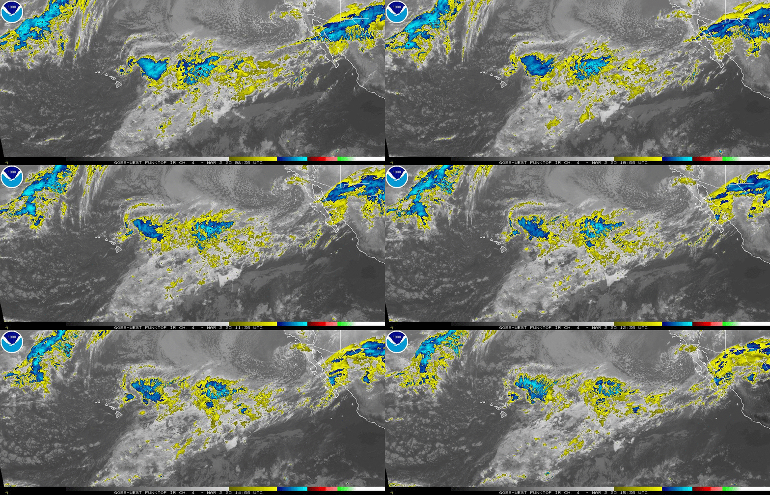
hiatlsat_None_anim.gif (768×496)

Only real discussion today is how much rain Texas actually got from a system with no name that originated in the tropics as was briefly labeled Invest 91L. I like to call it #X91L as in today's world it seems everything needs a Hashtag. How much flooding there was will be evaluated today though late yesterday it was very sketchy in some areas and even if it doesn't have a name the result is the same. I'm also curious where the rain is going down the road and it seems it's going to where all the weather has gone as of late. Graphic below from Cranky on Twitter. 


What is in a name?
Won't ask why Cranky chose Storm Hamster.
There are things I don't question.
Happy to have their input.
@crankywxguy

Some thoughts from Twitter


As so often happens in late June.
Texas and Tex Mex area got slammed with rain.
Shelters are open in several areas.


As far as the rest of the Tropics.


Oddly the only game in town is off of Africa.
It's a short lived area to watch.
Generally anything strong there....
...fizzles in the cool waters of June.
Still it begs us to watch.


Note the colder water is the NW of the wave.
African wave. 
More to follow.
Sometimes waves are hard to see.
Showing the SAL image below.
It's current.
The wave is the area of missing SAL.


Each wave takes a bite out of SAL.
Each new wave finds warmer water.
At some point the water warms up.
The SAL is less of a factor.
Waves spin up into systems.
Well sooner or later they do.

There has been much talk on social media about a cooler than average MDR (Main Development Region) and the possibility of El Nino coming on stronger later in the year. There is also some discussion on Kelvin Waves that help give pizzazz to tropical waves helping them develop being aligned in such as way as to help a few of the early westbound, tropical waves in a moisture starved part of the atmosphere swimming in cooler water. Time will tell. At some point the water will warm enough to support some development. The later a wave develops - if it develops - the further West it gets and the less likely it is to be a Fish Storm. The term "Fish Storm" for newbies means that they get stronger faster and tend to curve gracefully to the NW and swim out to sea like a fish. Waves that had problems developing in marginal conditions often can end up like Andrew in 1992 that didn't really develop until later, was almost deactivated and around where the Great Labor Day Hurricane spun up changed directions, tactics and intensified close in to a Category 5 Hurricane aiming for the Miami area. So understand each year and every set up in the Tropical Atlantic has it's own problems to worry on as the saying is so true in that it only takes 1 hurricane; especially a Camille or Andrew to wreck your world. This is 2018 and it is NOT 2017 and there will be less named storms, probably way less ACE and few years in history will compare to 2017 with regard to ACE and tropical misery.


I agree with Mike.
Each year stands on it's own.
Even below average years...
...produce Killer Hurricanes.
This should be an Average Year.

Mike @tropicalupdate (was he so smart to grab that Twitter Handle?) suggested last night on Twitter  that people watch the video I posted below. It's a good video. Much of the information has been out there discussed constantly on Twitter, however Twitter leaves much to be desired and it's way better to listen to Phil Klotzbach explain his thoughts than to read them in parts on Twitter. Like Phil I love Twitter as it is a fantastic source for live reports of weather events in real time that provide us with good information (and discussion) faster than we were able to receive such information previously. As always you have to weed out the nonsense of fake information but it's very relevant and it gives us a new way of devouring and sharing information/knowledge. There were meteorologists years ago who studied hurricanes by reading ship logs and piecing together pieces of information to see the whole picture of what happened and where it happened. If the ship went down in the middle of the Atlantic there was no ship log to read and radio was not invented so there were no "last radio reports" to study to piece together what happened. There was a time before we had radar and a time before we had satellite imagery and a time before we were able to share live breaking weather events in real time as they are happening as we do in Twitter today. You can follow Phil on Twitter @philklotzbach.  

I have great respect for Phil, but the only thing I want to say is that although we all look to the MDR for hurricane action and yes #ACE is highest when that part of the world has low shear and warm water with long tracking CV Hurricanes but disaster can strike and often does from hurricanes that form closer in and are more "Homegrown" sorts of trouble. So keep that in mind while speaking on the cooler water temperatures near Africa out in the MDR region of the Atlantic. To name a few Major Hurricanes that rocked our world that formed close in and the list is way longer that what is below... know that sometimes a storm that rapidly intensifies close to landfall is harder to prepare for or predict than a hurricane that has been heading WNW around a Bermuda High obviously set to make landfall in PR or Florida the way Hurricane Maria and Hurricane Irma did. And, few years will ever have as many hurricanes that could not develop without becoming Major Hurricanes. 2017 was a year to remember and study forever. I'm also adding that Phil is doing an awesome job keeping the memory and lifetime work alive that the incomparable Bill Gray began and his many students are continuing today. 

You may want to Google the following historic hurricanes to see where they in fact formed and they did not form deep in the MDR region. 

Camille
Great Labor Day Hurricane of 1935
Sandy
Katrina
Mitch

Hurricane Camille


Hurricane Katrina


Hurricane Sandy


Camille technically was the remnant of a CV wave that did not form. Camille formed in the Caribbean as did Sandy. Katrina formed off the coast of Florida (hitting Miami first as a hurricane before moving into the GOM) in the same area as the 1935 Hurricane. So understand on one hand the MDR is cooler now, it will warm up, but it will not produce the number of hurricanes that we suffered through in 2017. However, storms that form close in and rapidly intensify with less lead time to prepare and evacuate are their own breed of trouble.  Sandy also slammed into Cuba before becoming the huge East Coast threat later delivering a large blow a good part of New Jersey and New York. So again remember data is interesting to study, but the bottom line is that you need to prepare no matter how much shear is there in the GOM today and how cool the water is in the MDR as things have a tendency to change after July 20th when the real part of the Hurricane Season normally begins. 


Thank you.


So those are my thoughts on the Summer Solstice as we are officially into Summer even though we have been dealing with the heat for the last several weeks. On a playful let's have fun level I bought a new eye shadow palette from Cargo that is called Havana and is filled with tropical shades and well put together with names that reflect Havana and in general the tropics. I'm in Raleigh this year for the Summer Solstice. Often in the past I was in Key West visiting friends and even once in Seattle where the day is really, really long. This year I'm here so the closest I can get to tropical vacation is playing with my make up and listening to a Jimmy Buffett song.


Besos BobbiStorm
@bobbistorm on Twitter

Ps. Always be true to yourself. Whether you are an academic or a salesman be true to yourself. Whether you are a teacher or a life long student be true to yourself. Whether you are an artist who sings, dances or writes or a philosopher or brain surgeon be true to yourself. Enjoy the things you love and do what you love and share what you love with others... as long as you are trying to make the world a better place than how you found it. If you don't like the world the way it is... help make it better and if you don't like the ending of a movie..... get out there and make up your own story. 


Cuba could be in play later in the 2018 Hurricane Season as could the Mid Atlantic region. Time will tell.... I'll be here blogging and sharing it all at Hurricanehabor.blogspot.com and on Twitter @bobbistorm. 


Labels: , , , , , , , , , , , , , , , , ,
