11 PM UPDATE - Tropical Storm Barry Forming From PTC2 in the GOM CLOSE TO LAND. Forecast to be Cat 1 Hurricane by NHC. Louisiana in the Cross Hairs for RAIN FLOODING. Recon going in later today. NHC Cone. Tropics NOW.
11 PM Update on PTC2
Maybe tomorrow.....
Still only 30 MPH
Broad center with multiple centers.
The center has not stacked yet.
Kind of a center but no cigar..

Note it's a very slow mover for a while.
At some point it picks up speed.
Develops close in over very warm waters.
Caveat here is IF a real center stacks up.
Models insist that will happen.
Note salient discussion points tonight from NHC

"multiple low level swirls associated with individual convective
cells were noted in the aircraft wind data"
Great product NHC puts out.
Flooding potential...

Will start over in the morning.
Maybe tomorrow..
Tomorrow is always a day away.
Sweet Tropical Dreams,
BobbiStorm
Recon may have found a center........
........waiting to see what NHC says.
NHC said they found a broad center...........
and another smaller center and another.
Not there yet was the verdict.
Recon pulling pressures near 1005 mb with a LLC clearly defined. Likely to have a fully tropical system (TD or weak TS) very soon. #PTC2 #Barry pic.twitter.com/LRkWYszW0s— Tropical Updater (@tropicalupdater) July 11, 2019
 thru
thru
Look carefully.
Barry's getting a center.
A belly button even.
Seriously...
Takes a while to come together.
Give him some time to breathe.
Updating live today.
New info at the top...
..if you didn't read this morning's post please read all.
5 PM Update.

NEW: The latest @NHC_Atlantic update has hoisted hurricane watches for parts of the Lousiana coastline.— WeatherNation (@WeatherNation) July 10, 2019
Full details on #PTC2: https://t.co/250PUwSzdq pic.twitter.com/lONAHVSyAi
Nice graphic there.
Simple. Clear.
You can read the Discussion yourself.
I highlighted parts I felt were salient.


I have said before I see it being impacted by shear.
Not strong shear but shear is there.
For a developing system that's hard.
It's center has to stack vertically to develop.
So any shear is an issue.
Water temperature is HOT.
Water Vapor Loop shows some shear.
NHC acknowledges it.
Below I want to call your attention to Number 4.
Slow movement .. Flash Flooding... River Flooding.

As for water temperature...
It's that hot.

Water upwards of 85 degrees.
85 to 90 degrees.
85 degrees close in....
As for what cities have possibilities...
Pretty much every city for miles around has some probability.
Even far outside the cone.
You need to read the small print to know what the Wind Probs mean.
I was trained to use it for various purposes.
I was trained by specialists in the field.
Good advice.
— Hurricane Tracker App (@hurrtrackerapp) July 10, 2019
To understand how the NHC explains the Cone.
Here's the link below.
There's lots of rules and explanations on their site.
This is difficult as many on air specialists explain it differently.
Max Mayfield who is long gone talked on it often.
Max Mayfield who is long gone talked on it often.
It's a bit old but it's from Max Mayfield.
Every director is different.
There have been a lot of different directors of late.
I know how Rick Knabb explains it on air.
Here's his Twitter link https://twitter.com/drrickknabb?lang=en
Know what Rick said recently is my main concern.
What do we know?
We know it will be slow movement for the short term.
If someone asks you what category this Gulf system will be, tell them SLOW. That category of slow-moving storms of any intensity that can dump more than a foot of rain, and that can take more lives due to inland flooding than from any other hazard. #TurnAroundDontDrown pic.twitter.com/VAfILhB9du— Dr. Rick Knabb (@DrRickKnabb) July 10, 2019
Good advice to remember.

Then See Monday. Barely moving.
Weak steering currents currently forecast.

The official NOAA forecast has it over LA thru Monday.
That could change.
But the flooding inland would be a problem.
My bottom line:
Let me explain how this goes. It's currently raining off and on in Louisiana and other places nearby. There was flooding this morning as well as a tornado. It floods easily there but more easily with heavy tropical rain. The river is already swollen... you know the Mississippi River and it's low lying filled with lots of bayous that flood. That water rises and the structures holding it will have problems with it and yes I'm talking about a slow moving minimal hurricane. Then it makes landfall and moves SLOWLY UP River... that is flooding.......then it moves further up into Texas, Mississippi and Arkansas not to let E Oklahoma off the hook. That adds more water to the River and where do you think that water goes? Well it tries to go downstream. This has the potential for a real, flooding mess that will impact many people's lives over a wide area and it's the beginning of the hurricane season so who knows what else will come there way later in the season.
Oh and the Atlantic is about to come alive.
As in 1-2-3 or rather 3-4-5
ABC .. that fast.
Until the steering currents open up the gates.
And let Barry leave....
... Barry is stuck as seen here.

And it's slowly coming together.
Some models show a stronger hurricane.
We can talk on that tomorrow.

You have a big bull in a China Shop.
A tea kettle full and spilling over everywhere.
Flooding.
This is the concern here........
As for me I'm going out tonight.
I'm going to wear my Drunk Donkey Tee Shirt
And wear a real short skirt ;)
(giggling)
And eat good Southern Food and drink Craft Beer.
And I'll be back to see what we see...
Thank you TREMENDOUSLY for your feedback ...
...and great discussion on Twitter and elsewhere.
Sweet Tropical Dreams...
BobbiStorm on Twitter & Instagram.
Follow me there for real time discusison.
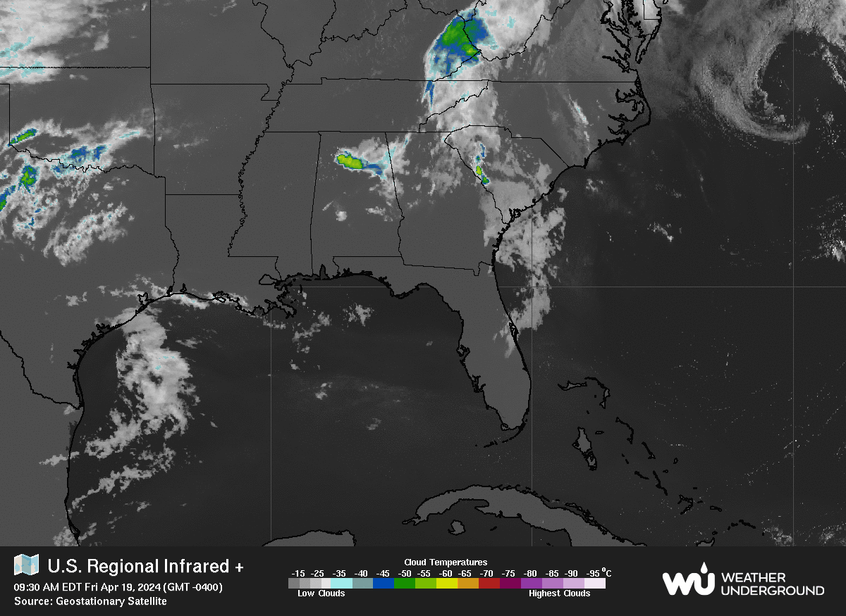
Note it's raining all over the place...
N FL to LA/TX border.
Not a good set up before landfall.
Before we even knew it's name was Tropical Storm Barry..
Besos .........
I'm sure I'm part of that huge number of hits ;)

* * *
2 PM

Note NHC has this as HURRICANE BARRY at landfall.
What category depends on many things.
Note it's a developing cyclone.
Movement WSW currently.
That could also be part of center reforming.
We don't have a clear cut center.
High behind it is strong.
High to it's NW is strong and moving East.
You can use the loop and see this happening as well.
 '
'
See how the yellow area moves down
The developing cyclone responds with WSW movement

Also note this is growing in moisture.
It is over octane fuel water temperature wise.
It has moisture below it and it is sucking that in..
A potentially dangerous set up.
Mimic loop I used to call OJ Loop ..

Note there there is deep supply of moisture below to the S.
Hurricanes know how to suck that moisture up.
That's why they develop a long tail.
Those were waves that didn't develop.
But stayed together.
Note there are waves in the Atlantic.
By the end of the month we will be tracking Atlantic storms.

That's a strong, healthy ITCZ
Waves make it across.
EURO develops a wave down the road.
Stay tuned.
Back to Barry...

Earlier at the beginning of the loop there was moisture S of Cuba.
PTC2 sucked it up into the GOM.
Watch in real time the two areas interact.
This loop is on www.spaghettimodels.com
Mike is awesome and always adding links.
Also has specialized Barry Links.
It will be Barry soon.
Earthnull shows the center.
The center is trying to come together.
You can see it's not perfect yet.

Give it time.
Models show a hurricane just off shore.
Models change on each run.
991 mb #EURO vs 986 mb #GFS one run, model runs vary from one run to another... watch the trend, prepare as told to by local authorities & nhc https://t.co/pexSaST2e2— BobbiStorm (@BobbiStorm) July 10, 2019
Know some models do intensify it more.
I'm waiting for info from recon and next model runs.
Also waiting for Barry to become Barry.
Another link from NHC that's good to use is shown below.
If you use the link below it is interactive.
It can show you down to your city where you are in the cone.

People to follow on Twitter
He knows weather, hurricanes and Nola.
Some of the latest model guidance is showing the upper trough over New England to be weaker each run, which allows the high pressure ridge over the rockies to steer the storm more west. #PTC2 pic.twitter.com/dlpEybluZi— Hurricane Tracker App (@hurrtrackerapp) July 10, 2019
I'm putting this up because........
...people in Miami keep asking me.
"how do we know it won't turn back to the East"
That's why.
As for experts we have Bryan Norcross
NEW Potential Tropical Cyclone #Two advisory summary! Data from @NHC_Atlantic. Automated EXPERIMENTAL summaries for all storms are available at https://t.co/JoaQMH3QS5. pic.twitter.com/5cgvx6CyR5— Bryan Norcross (@bnorcross) July 10, 2019
If you can't trust him who can you trust?
First off Recon is IN the system.
***
Keep reading if you didn't read this mornings blog.
Updating in real time today at the top.
Be back later Bobbi
Note NHC Forecasts this to become Hurricane Barry...
in NHC Discussion

Discussion

That is not locked in.
Often intensity forecasting is the hardest part.
So always prepare for 1 category higher.
Just in case.
Better safe and prepared than sorry.
Potential Tropical Cyclone 2 to be TS Barry eventually.
Eventually Hurricane Barry.
Much awaited Cone below.

Rainfall projection.
For now rain is the name of the game.
We can worry on stronger winds later.
More people die from water than wind.
Run from the water.
Hide from the wind.
Hard to get to where you need to hide...
...if your route to get out is blocked by water.
Because op the shape of Louisiana...
Parts of Mississippi and Texas are in this...
Long range Oklahoma and Arkansas gets rain.

Tropical Storm Watch issued.
Mouth of Mississippi River to Morgan City, La
Storm watches from Pearl River to Morgan City.


Note the river flooding problem goes N up into Arkansas possibly.
The reason I was upset yesterday about the slowness of the NHC to put out their PTC2 product is because in this case it's not about LANDFALL today but about rain ahead of Barry while PTC2 tried to come together. You add in WARM WATER and localized rain and HOT weather and you have rain falling in flash flood proportions TODAY.. and I knew that would happen YESTERDAY. There is way too much obsession on what city will get to be landfall as if it's some contest. This is not a Cat 5 Hurricane with a small core of dangerous winds that people need to know where that tight Andrew like eye is going as much as WHERE IS THE WEATHER GOING and WHO WILL GET FLOODING and that area is a wide swath along the many populated cities that lie from the Mobile to Houston. Houston is not in the cone but does Barry wrap up or does it's weather go everywhere? It's a difficult forecast for the NHC as it's evolving and developing in real time. And time is of the essence to prepare both down by the Gulf of Mexico and up in the back woods prone to flooding along the Mississippi River, the Pearl River and the Sabine River. Lots of rivers and bayous there and they are all prone to flooding even far from the point of landfall.
I will update this blog in real time ...
Keep checking back soon.
It will be a Live Blog today.
Yup already some rain covered streets on Bourbon Street pic.twitter.com/LHMY5BP9kG— Steve (@DESteve) July 10, 2019
NHC did issue a PTC2 Discussion.
There were rumors in the wind that was happening at 11 AM.
But at 9 AM the NHC had this up.
Either way recon is going in soon .........

Waiting on RECON to go in obviously.
Better recon data gives us better model runs.
More info for the NHC to put into their advisories.
Nuff said on that for now.....
(read previous blog for my thoughts)
You can see the highlighted part below.
Waiting on recon...
...stand by for advisories later.

So what's the info on models?
Where does it go?
Mike who knows what people want knows.

Obviously Louisiana has a bulls eye on it.
New Orleans actually has a TORNADO warning this morning.
Tornadoes could be a problem later from Barry

Why now?
Because this is a slow developing storm.
But the RAIN is the NAME of the GAME today.
And the rain that will fall for the next few days........
.....BEFORE BARRY MAKES LANDFALL
Could make epic flooding.

Listen to people who know.
Weather people, Storm Chasers KNOW.
They know the END result often.
The NHC puts up a CONE... eventually.

Mimic Loop shows spin slowly coming together.
See the larger S shape around general moisture mess
Let's go back to the models.
Keeping this simple this morning.
I had to stop writing to take a picture of the TV.
Yes, how Old School.
Welcome to my world.
No time to play with webcams or searches.
TWC showing the webcam.
Duh...so ignore the "took a pic of tv" look.
The message is the thing here.

And yes I have a map on my wall.
Told you I love maps.
Note this TWEET 15 HOURS AGO.
This will need to be watched for potential river flooding in New Orleans due to Invest #92L, which will likely become #Barry --> https://t.co/bFwpvZvLEN— Hurricane Tracker App (@hurrtrackerapp) July 9, 2019
Understand New Orleans and areas around it....
........do not need Harvey like rain totals to flood.
Actually Houston floods fast too.
It's BAYOU country.
It's a swamp basically.
This is the problem.
Barry won't be Camille.
This is not a wind event but a rain/flooding event.

NOTE... the models again.
Posting this twice.
The HWRF last night set the tropical world on fire.
It showed RI upon landfall and a strong hurricane.
Everyone went crazy on that one model run.
As they do every time the GFS agrees with the EURO.
HWRF had it's 15 minutes of fame.
IF that happens everyone will ask about the HWRF.
The next run pulled back a bit this morning.
Oh well.
Note the ICON is being watched by many.
So let's let RECON fly into the plane.
Let's let the NHC do it's official thing.
The GOVERNOR of LOUISIANA DIDN'T WAIT.
Nola is not playing wait and watch game.
Their mets know the story.
Check the loop out below.
Note this is an official GOV product

We have a Low by Louisiana.
NOTE the WHOLE LOOP it's under RAIN.
Rain is the name of the GAME.
Lastly IF Barry goes up into the Mississippi River Valley.
There will be more rain as it's been at Flood Stage since February.
It really can't handle that much rain.
So while no it's not Harvey sort of rain.
It's still way too much and a pain.
It's not that hard to see where the NHC will put the cone.

Louisiana for now.
Texas near the Sabine River COULD be in it.
It could move closer to Mississippi or Texas....
if something changes.
Things often change in real time.
So keep checking back.
Pay attention to your local weather sources.
if something changes.
Things often change in real time.
So keep checking back.
Pay attention to your local weather sources.
You should be following these two ...
They do a great job EARLY ..
BEFORE the CONE.
During the Cone.
Deep info.

And yeah obviously NWS New Orleans.
Current picture of their page.

This says it all.
Flash Flood Warning Wednesday Morning.
It's that simple.
Will it be a Hurricane?
How strong a hurricane?
So many questions.
But the WATER is the problem here.
Not the wind.
I don't count anything out but....
It's that simple.
If it becomes a Cat 2 act accordingly.

Look how close to land, over land this weather is.
Before Barry forms.
More people die from FLOODING than wind.
This area is prone to flooding.
This will be a flooding/rain event.
So BobbiStorm's Bottom Line
If you live in this area prepare now.
Prepare according to your concerns.
Is flooding an often problem in your area?
Then get out of your area.
If not hunker down.
Get supplies because you'll need them.
Stores and roads could be closed for a while.
Monitor the progress of the system.
Follow local sources they know your concerns.
I think this will be a Louisiana landfall.
I could be wrong but currently seems so.
Even so a "center" could hit TX but the rain...
...the rain will impact Louisiana.
And people UP RIVER...
Should watch because the RIVER already has problems.
I'll update later so check back often.
Models that shows this paralleling the coast..
is dangerous in a Charley way.
Not because RI or wind speed.
But because hard to say which CITY gets it ...
It's not an easy set up.
But we know it's there.
We can prepare.
Close Up Loop
Wide Loop

Note the Wave Train off Africa.
After we are done with Barry.....
... We will have Chantal to contend with.
And that WAVE South of Cuba has been cooking.
Besos BobbiStorm
@bobbistorm on Twitter and Instagram.
Follow me there for real time responses and discussion.
Ps.... read the previous blog.
I complained on things I am not gonna rant on now.
But I think it's way too close to land now.
It was obvious the NHC is going with the slow forming model.
It's way too close to land and surprises do pop up.
I'd rather have had an official PTCW up earlier not later.
Fly the planes in ...
... they are outta MS it's not a long flight.
Data is good for details.
We need the dropsonde data.
Data is good for details.
We need the dropsonde data.
Those that know me know I love Nola.
I was the Keynote Speaker at a Conference there....
...on a riverboat in the Mississippi River :)
So enjoy the song.
Pray the EURO is wrong.
Hope the GFS knows something.
But even without developing deep.
The rain is the name of the game.
Labels: Barry, cone, flooding, History, hurricane, Louisiana, Mississippi, nola, NWS, PTC2, Texas, tornado, tropicaldepression, tropicalstorm, tropics, warnings, weather
posted by BobbiStorm @ 7:00 AM
0 comments
![]()