NHC's New Improved Tropical Weather Outlook to Go from 2 Days to 5 Days... Not much else happening
There is a wave by Africa....

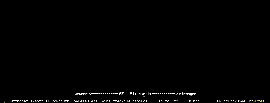
There is also............. a lot of very dry Saharan Dust and it would be a minor meteorological miracle if this wave formed. But ... a lot of people are watching it...
This is tropically depressing me very much...............very much........

It just ate the earlier wave around 30 for lunch...didn't even burp... still hungry for more waves...
This is the big news of the day, but not breaking news as we have been waiting to see how this plays out in reality. NHC is changing the way they are doing things. Picked an easy week... "no tropical development until next to forever" considering the dry dust is eating the waves, the EPAC is spitting out tropical storms as if the are water melon seeds on a hot summer day.
 You are subscribed to NHC Tropical Weather Outlook (Atlantic, all versions) for NOAA's National Weather Service. GovDelivery provides this service using unaltered NOAA/NWS products.
07/31/2013 01:34 PM EDT
000 ABNT20 KNHC 311734 TWOAT TROPICAL WEATHER OUTLOOK NWS NATIONAL HURRICANE CENTER MIAMI FL 200 PM EDT WED JUL 31 2013 FOR THE NORTH ATLANTIC...CARIBBEAN SEA AND THE GULF OF MEXICO... TROPICAL CYCLONE FORMATION IS NOT EXPECTED DURING THE NEXT 48 HOURS. NATIONAL HURRICANE CENTER WILL BEGIN INCLUDING INFORMATION ABOUT THE POTENTIAL FOR TROPICAL CYCLONE FORMATION DURING THE FOLLOWING FIVE DAYS. THIS INFORMATION WILL BE PROVIDED PROBABILISTICALLY IN 10-PERCENT INCREMENTS...AND WILL SUPPLEMENT THE 48-HOUR PROBABILISTIC FORMATION POTENTIAL ALREADY PROVIDED. THE CURRENT GRAPHICAL TROPICAL WEATHER OUTLOOK THAT SHOWS THE 48-HOUR GENESIS POTENTIAL WILL REMAIN UNCHANGED. NHC IS CURRENTLY DEVELOPING A FIVE-DAY GENESIS POTENTIAL GRAPHIC THAT MAY BECOME AVAILABLE LATER IN THE SEASON. $$ FORECASTER AVILA
http://www.youtube.com/watch?v=NjixJH0dfmU Listening to Sting, for a change.. just so you know..
This means they are moving from now until five days from now.
It's interesting I just think it's sort of extreme to go from 2 to 5..
But... we will see...
Have to see how it will play out in real time. Starts tomorrow.

State of the Tropics going into August 2013.........(changed my font...do you like it??)

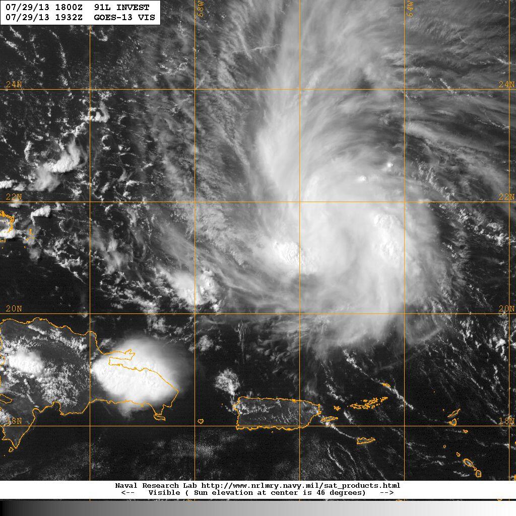
Annoying tease of a system Dorian turned out to be. Every day he spins up screaming, "Look at ME" and then ..
He runs away.
Want to hear a funny scenario.. not saying this could happen.. but wouldn't it be ironic and funny..sort of.
He gets caught up in that big Upper Level Low West of Florida... energy transfers and his moisture ..
.....goes zoom zoom zoom north east of Daytona (yeah TD 4 Ghost) and then merges with the rain...
....of the coast of the Carolinas and sort of as he appeared..POOF... and the NHC has to sit around..
.....and debate... whether he is still Dorian or Erin or a pissant sub-tropical low and they decide..
...............NO NO NO .... we won't issue advisories ... just a silly scenario..
Maybe they could issue ANOTHER number to him for a new Invest...one from the twilight zone.
Actually, that ULL is really kind of sexy... look how it folds into itself, spins..sort of wild.
I can see how Dorian was attracted to it..
So...........if this works below good, but truth is this is the time of year when storm chasers would do anything
for a storm.. and I do mean anything.......and in a week or two.. or 10 days something will pop up after.
Some would actually eat their young.. I have a lot of young ones...
luckily I'm just popping sweet cherries into my mouth... one after another...
red, gold, dark, sweet... healthy and better than shots of Honey Bourbon you know what I mean?
The Addams Family of Epac storms stops raining on my Atlantic Hurricane Parade...

I
Weak support for African wave to develop.. maybe...

Wouldn't hold my breath on that but you never know..keep watching.
Tomorrow is August 1st... and it's a new ball game for the NHC..
So play ball!
Besos Bobbi

You can keep watching the remnants of Dorian... got nothing much else to do..
|


