Dorian On the Rebound? Mid Level Circulation Visible. Hooking Up with Moisture to his NW. Keep Watching!

So many contradictions. Some models develop Dorian into a Hurricane, other's do not develop it. The NHC gave it a 50% chance of development. I know because I read it on Twitter while trying to hide from my computer. God I love Twitter. @BobbiStorm... look me up and tell me what you think...
So I went out tonight for a drink...watched the sunset... got a "Hurricane Hooch" which isn't really a Hurricane but then ha ha..neither is Dorian. But.......the models kept whispering his name all afternoon. What is in a name after all?

Everyone once in a while a girl's got to do what a girl's got to do...sitting there refusing to look at one more loop of whatever the name of this storm is... annoyed but smiling. The drink was good... cranberry, cherry, strawberry... not to tart... no sour mix. 73 degrees on a beautiful night... feeling the air on my skin and trying to hide from the loops and the models everyone keeps sending me of Dorian intensifying.. when in fact there is no Dorian tonight at 11 PM.

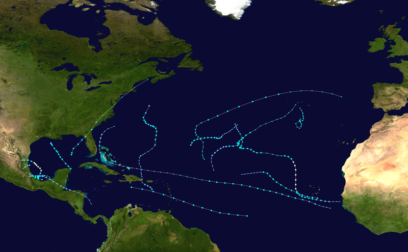
Track models now pull to the north towards Florida and maybe even the Bahamas ... some hint steering currents may bomb out a bit and collapse. Others... show other solutions.

Others of course take it low...into the Gulf, through the Florida Straits. One hits Tampa...
Okay it doesn't hit Tampa.. it sort of blows it kisses...
The NHC's wonder child the Ships Model takes it to hurricane status in less than 120 hours.

Let me explain this plainly. Dorian is spinning. Now... some may say "no it's only a mid level circulation" which is pretty good for Dorian as Dorian didn't have any circulation when they killed it off as a dreaded "open wave" and if that's a mid-level circulation I would love to see what a surface circulation would look like..

Also seems to be pulling more to the north, hard to say as it doesn't have a circulation but it's a winner in my book as it is sparing PR more rain and floods.
Wide view:
http://www.ssd.noaa.gov/PS/TROP/floaters/91L/imagery/rbtop-animated.gif
Amazingly manages to keep regenerating. This thing is beginning to remind of the story of Dorian Grey.

As much a spin on this loop as it always did.

So, what do I think?
I have a lot of questions.
1... the "wall of shear" was there but was more like a small jumping hurdle rather than a "wall" which leads me to think it was over hyped or over forecast or a bit of both.
I think IF Dorian reforms officially he will complete the etch a sketch drawing of the Atlantic High.
Close to Florida coast... then what?
The NRL seems to be updating their file on Dorian AKA 91L and has an old track for another 91L which would...could.. might imply they are adding a new track. Am I a mind reader? No.. just guessing.

I have that image titled as OOPS.
Telling you Dorian is a strange one.

Looks a bit like an ampersand...
So, Bobbi's Bottom Line for Tonight:
As I have said several times over the last few days..
If the "wall of shear" didn't kill Dorian it would ventilate him and help him and that has happened today. yes, it did take some of the color out of him ... but he keeps fighting back.
How any forecaster could not see this a potential problem I don't know.

Now, it just needs some color, convection and as he moves closer to warmer water in the bathtub of the Bahamas...
His remnants need to be watched.. IF ...he regenerates ...he can be a much more dangerous situation than Flossie which is a very minimal dying out tropical storm that TWC is hyping for ratings.
Flossie is a struggling Tropical Storm..NOT INIKI and to constantly keep reminding people this is like when Iniki hit Hawaii is shameless hype. Iniki was a CATEGORY FOUR.
Flossie is a weak tropical storm a little stronger than Dorian's remnants which contain Gale Force Winds.
Yet, TWC seems to have a ban on even mentioning Dorian.
Look at this loop again..one more time. A few nights ago I said Dorian was so close. Do you remember that.
IF Dorian completely attaches to the orange colored moisture flow to her NW he will lean into it and suck the moisture out of that area and be sucked a bit up towards the NW with that flow. Recon went in and found Gale Force winds but alas no closed surface circulation... If there was an upgrade it should be to TS status but who knows for sure.
Blow blow Seminole Wind... the song came to mind all night while listening to the sounds of the wind rushing through me and the far away thunder getting closer in an emotional moment of meteorological wonder :)
Come on Dorian....blow... convect... you are so close... and you came so far...
You have to admire, respect a tropical system that against all odds moved in tact across the entire Atlantic Ocean in the middle of dry air despite obituaries that were written for him before he was even named.
50% chances by the NHC... pretty high odds.
Now it's up to Dorian.
Sweet Tropical Dreams
Ps Mister Dorian is trying to hold on... he is so close to winning the latest round in this tropical drama.
posted by BobbiStorm @ 8:52 PM
![]()


1 Comments:
Thanks Keith. Always nice to get your feed back. Perhaps there are just some years where the rule book should be thrown out. Something to think on. This could be one of them.
Post a Comment
<< Home