Summer ...Hot Days, Stormy Nights. Carolina Summer. Will Something Form Off the SE Coast? Maybe. Which Model Do You Believe? 100s in NYC on July 4th or Tropical Trouble Off SE Coast? Models ... Hmnn.

In the Tropical Caribbean above.
In the steamy, warm Carolinas below.
\
Before.
Few hours later.
After.
In the satellite loop at the top you can see the typical storms down near South America (our hemisphere's version of storms coming off of Africa) and the swirl of the ULL in the Caribbean (something spins ..) and coming off of the Carolinas is a storm system that leaves behind a vague signature that is sometimes prone to spinning up some small system similar to the early BOC weak systems wandering west into Tex Mex. This time of year there are 2 spots where tropical fluff stuff tends to form and more often than not it is usually insignificant. Sometimes they can get out of control like yesterday's storms in the Carolinas and be stronger than expected. As this year June feels more like July and it's late in the month let's go to this beautiful, timeless graphic from The Weather Channel. Usually the Crepe Myrtle is our late summer star keeping bursts of color everywhere until leaves begin to turn colors. Some years it burst into color early such as this year in the same way we are having late July heat in Raleigh in late June. So let's look at July in the Tropics. Where do storms form?
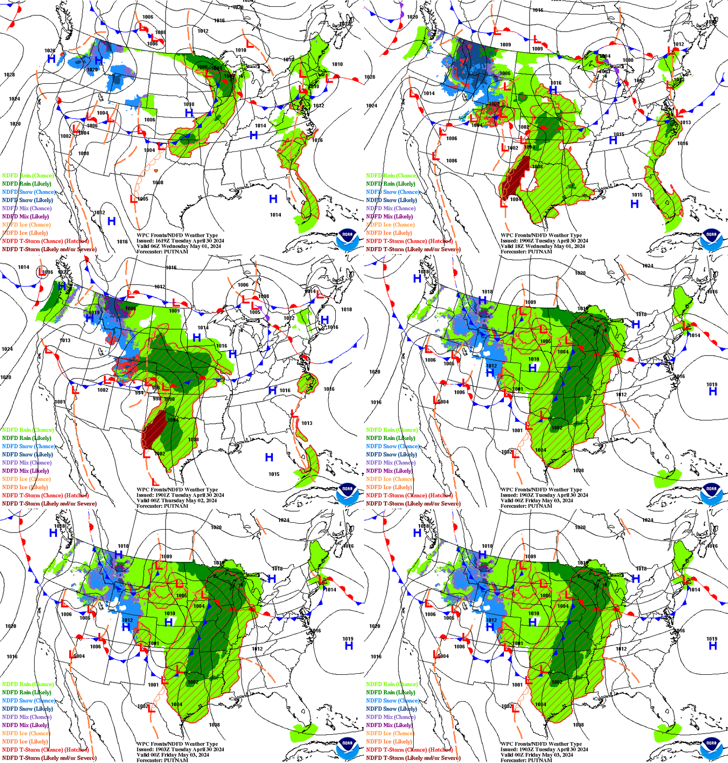
The EURO model has been pushing a possible tropical event off the Carolinas later in the forecast period but not a long ways off. I'm not super keen on this model currently or any model until I see something that shows me it's not suffering from heat stroke. It's very plausible that some mischief could form in that region as we will have another series of storms later today and what's in the Plains now is coming our way later in the week. Add in a moderating "cool front" is moving through dropping out high temperatures down to the high 70s or low 80s for 1 day this week. Obviously that "front" is going nowhere fast and will die out leaving a front boundary off shore with low pressure likely to the South of the deep High pressure to the North of it. This is a classic set up where pressures begin to fall and tropical trouble could occur. June usually begins showing tropical fireworks in the GOM and BOC and July moves the arena a bit further to the East off shore in the Bahamas or along the SE coast. In 2014 Arthur pulled this off, however I'm not convinced that we are going to see such a system. Either way something will try to spin up off the coast and it's worth watching. Nothing much else to watch other than the progression of Tropical waves moving off of Africa adding more moisture into the mix battling the dry Saharan Dust. Note the graphics Dabuh put up showing what is there vs what might be there is you are buying into the EURO solution. Usually the EURO is a top seller and favorable product.
I'm not buying models just yet.
The GFS went off the rails today in ways.
It's forecasting extreme heat in areas.
Hot on July 4th is logical.
107 degrees for NYC?
Umnnn doubtful.
Imagine tho if the GFS was right...
...and the EURO was wrong.
Oh MY...
Cranky put this up yesterday.
It shows the clash of weather.
The players, the weather makers.
Definitely a spot for battle off the SE Coast.

Meh...
... maybe.
Strange loop if you wish to click.
Mixed signals?
Broken models?
Time will tell.
I'm just gonna watch...
..and enjoy the Summer of 2018.
Til things really heat up...
...late in July and the tropics come alive.
Besos BobbiStorm
@bobbistorm on Twitter
Ps... I want a smoothie!
Smoothies are the shakes of our past.
Labels: beach, Carolinas, heat, models, music, rain, raleigh, smoothies, storms, summer, tropics, weather


0 Comments:
Post a Comment
<< Home