Message to TWC... Invest 92L is DEAD. NEW Invest 94L by CV Islands and Erin On the way to being a Remnant Low...

New Invest in the Atlantic with 10% Yellow Circle... old invest in the GOM ....GONE.
So WHY is the TWC STILL HYPING the Invest that is NO LONGER AN INVEST.
Do you see the NHC Map above? Nothing there. Yet, this morning at 8AM they are still talking about it. And, trust me they know as well as I do that it's not there. They need something to talk about? Talk about Hurricane Preparation. There's nothing to talk about so they are talking about something that is not there any longer...

I'm not even going to post a picture of Erin because honestly it's sort of pitiful looking and well on it's way out faster than yesterday's dead fish that is smelling up the trash.
NHC Discussion... sounds sort of ominous like they are ready to pull the plug on that one too..Notice the words "or even sooner..." hmnnnn
TROPICAL DEPRESSION ERIN DISCUSSION NUMBER  14
NWS NATIONAL HURRICANE CENTER MIAMI FL       AL052013
500 AM AST SUN AUG 18 2013

THE CLOUD PATTERN OF ERIN CONTINUES TO DETERIORATE WITH THE CYCLONE
ONCE AGAIN DEVOID OF DEEP CONVECTION. THE INITIAL WIND SPEED IS
HELD AT 30 KT...IN ACCORDANCE WITH THE EARLIER ASCAT DATA. ERIN IS
ON ITS WAY TO BECOMING A REMNANT LOW...AND THE CONTINUED INFLUENCE
OF SOUTHWESTERLY SHEAR...STABLE AIR...AND MARGINAL SEA SURFACE
TEMPERATURES SHOULD PROMOTE ITS DEGENERATION TO OCCUR IN 24 TO 36
HOURS...OR EVEN SOONER. ALL OF THE GLOBAL MODELS SHOW THE REMNANTS
OF ERIN DISSIPATING OVER THE SUBTROPICAL CENTRAL ATLANTIC WITHIN A
FEW DAYS.
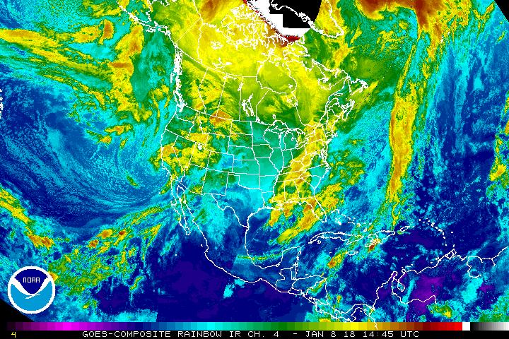
This is what they will be talking about soon. A new Invest in the Atlantic by the Cape Verde Islands. See those little dots under the clouds on the satellite imagery? Those are the Cape Verde Islands.
Invest 94L:

Track for the new storm is Westish...

Intensity... possible Category 2 or at least a Category 1...

Give it a few days, the yeast needs to work to make the dough rise you know???
Now..a small moderate rant on TWC and their ongoing love affair with Invest 92L.
See the wide basin..... they just called it the area that WAS INVEST 92...
Let it go.
Move on....
Someone there needs a relationship therapist and possible discussion on the subject of OCD and Co-Dependency!
It's GONE OFF THE NHC MAP.... Let it go............my best friend has muted the TV and refuses to put the sound back on until they stop discussing the remnants of Invest 92L. She also isn't that happy with Erin which she calls "that stupid other thing that they should never have given a name to"
Moving on there's weak tropical wave north of Hispaniola and more rain in the forecast for the Southeast and very shortly we will ramp up and have a September to Remember.

A wider more beautiful view of the basin.
Isn't Planet Earth beautiful? It is.... Pick a place today ...find something to do that you love and enjoy it!
I'll be back when there is more to talk about and after new models are run and after I figure out what I am doing with the rest of the day...
Besos Bobbi
posted by BobbiStorm @ 5:44 AM
![]()


0 Comments:
Post a Comment
<< Home