2 Invests in the Atlantic Basin. When It Rains It Pours.. Here in Miami :)

Quick post to bring this up to date. Arrived in Florida.. well Hollywood for now. Kids to see... kids & friends all over South Florida. Good to be "home" though "home" is a moving target these days.
There are TWO Invests in the Atlantic Basin tonight. One in the Caribbean that we have been waiting to develop into Erin and move up into the Gulf of Mexico...which has been the plan. Where it forms ..if it forms and where it goes will determine it's strength and track. A few miles here or there on either side of the Yucatan will take it to the Upper Gulf Coast or to Tex Mex Land. There is a sense of something coming together in the loop above.
The models for the one in the Gulf that most expect will become the E storm are shown below.

You can see on this loop that things are beginning to come together in the Caribbean and there is some strange ballet going on in the Atlantic.

In the far Atlantic there is a yellow circle up around the area that I wrote about this morning... the Cape Verde Wave. I expected it to get attention, but not as fast as it did. It's a nice wave with some viability and a strong possibility that it can make it across the Atlantic. I'm a little concerned on the track as it may be a bit far north and it's immediate track may take it more north than one would think it would with such a strong high. Or dip down some as they often do out there. After the strong high that has persisted for months it would seem strange to see Ferdinand develop and become a fast fish. More likely it would get under the high and move west. It's too early to tell at this point. The models are fanned out in all directions with lots of implications.

I'm still watching (out of curiosity mostly) the Upper Level Low in the Atlantic East of Florida that seems to have a lot of moisture entrained in it. Also...watching the moisture from the frontal boundary that has died out drifting down towards the Gulf of Mexico.
If that system in the Carib has any mojo to it ...it could find an immediate, intense reaction to the frontal boundary and run off to New Orleans or Mobile or Pensacola. If it thinks too much and waits, it will go west with the flow. Interesting to see what it does and again I was worried yesterday about the timing being off. Something bothers me with the GOM set up. Not that I don't think it will form.. I just think there will be some thing that is not quite seen yet that may shake up the models and intensify forecasts either up or down.
Again in the Gulf right now are pools of VERY HOT water and some pools of cooler water. Every degree right or left it takes towards one of those pools (IF AND WHEN IT DEVELOPS) may mean all the difference between a soaking tropical disturbance and a Tropical Storm.
And, where and when does the E storm form? Note the purple finally in the Caribbean has two areas highlighted...

Note a trip over the hot pockets of water if the storm is developing could bring a whole different scenario than if it drifts over cooler water. Nothing is simple when forecasting storms in the Gulf of Mexico.

Love being back... watched a beautiful sunset today in North Florida and listened to the Killers on Pandora nonstop with a lot of other music mixed in...and a drop of Notorious.
Long day.
Long days ahead for the people at the NHC as we are not watching TWO Invests and there's a lot to say and that will be said down the tropical road.
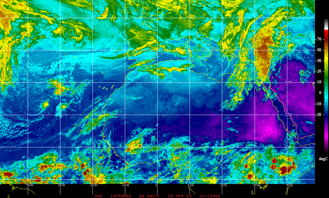
Look at that wave train over Africa...

A real shout out to a few friends, including Ken Kaye and Phil Ferro who kept me linked in on Twitter with poor phone service in the back roads of Georgia and South Carolina when the only thing that would get info was Twitter on my Android. When you are used to those great 4G speeds and loops and suddenly just after the NHC makes two Invests .. I'm in 2G and No G Land. Getting a new phone later this month most likely... Droid.. Windows.. iPhone... hmmnnn. Either way love the way Twitter almost always loads.
Sweet Tropical Dreams.
BobbiStorm
Ps... Looks like the Atlantic is set to go... Gulf this week, Atlantic next week... and I'm here..


0 Comments:
Post a Comment
<< Home