Updated 11 PM- Sally a Tale of 2 Storms - Which Hurricane Does the GOM Get? Paulettte Bermuda. Rene Not Talking on It. TD20 Seems Set to Follow the Others.
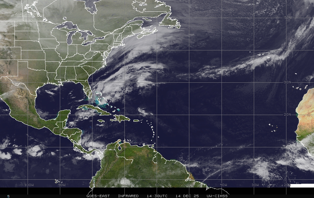
Doing a late night update on the general progress of Tropical Storm Sally as it nears the coast. The models definitely differ now on the exact point of landfall. The NHC has moved the cone and the various warnings a bit to the East based on current trends in it's general movement; always a question if a "jog to the NE" is true movement or a jog that readjusts itself. Note I'm not discussing Paulette but she's a beautiful looking hurricane headed to Bermuda now... and Rene barely hanging in and new waves are rolling off of Africa and this is not the end of the hurricane season it's the middle, so remember that and stay on top of your hurricane supplies, plans and precautions. TD 20 may get a name tomorrow. More on that later, but location is everything and this blog is currently dealing with Sally.

The geographic size of Sally has expanded.
https://www.nhc.noaa.gov/text/refresh/MIATCDAT4+shtml/140254.shtml Discussion 11 PM.

This graphic probably should be pulled a tad to the East.
It's less than 100 miles from Waveland to Mobile.
A little more than 30 miles from Gulfport to Moss Point.

Putting a link at the bottom to a Tweet I made for the blog. Blogger updated and it's not playing well with Twitter for some reason and it's just my thoughts on how this really is a Tale of 2 Storms. Which storm makes landfall? A weak but viable hurricane or a much stronger hurricane . and that really is the question today. Follow the NHC and the NWS for all your advice and pay attention in real time. The mets in Raleigh are already watching what will happen with the inland moisture from Sally moving in tandem with the front. Despite all the discussion and disagreement online regarding models and movement and the timing of the front and Sally's expected lunge towards the front that then begins to fall apart we still are not sure where landfall will be nor when it will be as Sally is forecast to slow down and take her time moving towards landfall while spinning over warm water that will begin to pile up onto beaches to the North and NE of the Center.


Good Cone from the NHC below.


Showed the Zoom Earth site above first and below the very busy colorful, crowded NHC map below. It's easier to take them all in along with satellite imagery, tracks and cones. Below is the classic page.


Flooding has been Sally's signature so far.
That's currently a lot of rain far from jthe center.

Great app to use and follow them on Twitter.

it's an older tweet but you get the idea.
Currently Sally is bottom heavy with a very intensely, wet right side that has been lashing the West Coast of Florida even though it is out in the Gulf of Mexico. The legacy of Sally so far has been huge amounts of rain, will that continue or does this turn into a very strong hurricane with dangerous winds along with rain causing flooding. Does Sally grab the front and move inland or decide to put down roots along the coastline somewhere and where exactly will she make landfall? Again the area to the right of landfall will also get a strong storm surge and flooding. Check out that current image with intense rain far from the center of Sally. Again, this is Sunday Sally, what will Monday Sally become? That is really the question here.
As for Paulette she's following the track forecast. Rene doing it's thing and TD 20 is

I will update the blog tonight after we see what the next set of model runs show and really what Sally shows us as I'm concerned on timing and her ability to wrap up veritically in the atmosphere. If so then it's a different storm than what we are watching now. Mike shows this great old school, classic toy kids today actually still use at that stage in life and it shows what we mean. There are layers in the atmosphere, when they align the storm is able to evacuate energy from the bottom to the top and to grow, to breathe and to become a dangerous entity. It literally begins pumping very visible on satellite imagery from it's solid core to it's bands far away moving towards land with the power of a nuclear weapon and it doesn't need to be a Category 4 or 5 to leave that sort of destruction.But if it stays less aligned and moves fast with convection far removed from the center sliding into landfall near Mississippi and Louisiana then Alabama and the Florida Panhandle gets crunched with flooding rain. IF it tightens up, pulls together, stays over water longer it could get further West than the current cone and let's hope it doesn't hit Lake Charles with a strong punch but ANY impact from Sally will tear apart whatever was left standing from Laura and it won't be pretty.
https://twitter.com/BobbiStorm/status/1305164119184736258?s=20 watch the Tweet as I talk on the MIMIC and the various possibilities the NHC is evaluating and taking into consideration while doing their updated Cones as weather evolves in real time - - that's why they update the Cone ever 6 hours.
So again........let's wait and see at 5 PM where we are and a bit later after the next model runs with data from recon. I'll be back then. Have a very good Sunday, but if you are in the path of Sally do everything you can to secure your property and protect your life and plan for the mean Sally and hope you get the lazy, lackadaisical Sally instead. I'm concerned that Sally could go Major and be a Category 3 hurricane but it's still hasn't shown us that its fully alligned so that's a big question. As the director has said on air often during Laura ... always prepare for one category more than we are forecasting.
Besos BobbiStorm
@bobbistorm on Twitter and Instagram
I'll leave you a song this evening. Today is about prepareing for Sally if you live in the track and if not trying to have a good Sunday.
Ps ........if anyone has a good remedy for eyes itching making it hard to read and loop with hayfever I'm all ears.... taking suggestions on Twitter but for now I'm using some meds and taking lots of showers... later this week it should be cooler :) so that's good. Thanks for your patience with any typos.
posted by BobbiStorm @ 8:26 AM
![]()


0 Comments:
Post a Comment
<< Home