Rainy Day in Avalon... OBX SC NC VA. Ida Gone Poof. GOM Low Possible Next Week
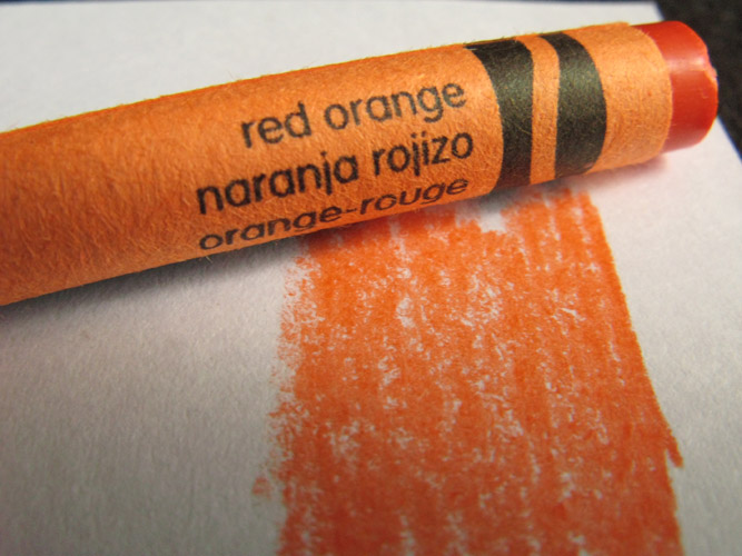
Bright orange red circle off the coast of NC.
It's as if Mother Nature colored it out for the NHC.
Though it's the NWS that is covering it.
http://www.weather.gov/mhx/

A picture from the Avalon Fishing Pier in OBX says it all:
From the beach closest to the Low.
Discussion from the NHC is as follows:
This discussion explains the Atlantic tropical area...
Which is always worth reading when there is no named storm.
Note they do say it's "somewhat conducive" for formation early next week.
That is the NHC's way of saying "maybe"
I'm trying this year not to say "maybe" so much...
So let's go with "some what" possible ;)
Rob from Crown Weather Services puts it well this morning.
In a way this wet, north bound mass of tropical messy weather...
www.crownweather.com
...I'll say this...it is a Perfect Storm of rainfall for the East Coast.
Mind you there could be some beach erosion somewhere...
...and localized ponding on roads depending on who gets what for how long.
It's 3 systems in one basically.
A trough of low pressure in the Western Caribbean.
Trough of low pressure across the SE and FL.
A surface low off of South Carolina.
Much needed rain for many places in the SE.
On www.spaghettimodels.com . . .
There is this great set of graphics.
It shows the set up well for the 2 suspect areas.
Off the SE coast is a low anchoring a trough.
(1st image above...)
In the GOM there is an area that is ....
....somewhat conducive for development.
Note Mike's whole page is a visual dream.
If you want to visually surf the tropics you can do it quickly.
And, you can linger over the images you find most compelling.
This shows how much tropical moisture there is...
Again that red orange mix works for Fall in the tropics.
http://tropic.ssec.wisc.edu/real-time/mimic-tpw/natl/anim/latest72hrs.gif
Look how orange that is...
Note the sharp contrast to the dark blue N of Virginia Beach.
It will ooze North by the way.
If one were to do the CBBT today...
...it would be a delight for people who love stormy views
http://www.cbbt.com/index.html
Google it ;)
So tomorrow or the day after tomorrow....
A low may form in the GOM.
It may be strong enough for designation.
Even if it doesn't get designation it will bring tropical weather.
Why am I talking about this if it doesn't have a name?
Because my site says ...
"if it's tropical its topical"
If you are on the beach in the Carolinas...
...it will feel tropical trust me.
If you are in Charlotte or Raleigh you are getting RAIN.
Definitely worth talking about to me.
Basatardi on www.weatherbell.com . . .
Says there could be gale force winds along the GOM coast...
If the Low forms in the GOM next week...
He's one of those who watches systems vs named storms.
What is in a name?
Spoiler Alert....
The Cold Front wins eventually....
http://www.wpc.ncep.noaa.gov/basicwx/day0-7loop.html
Surfer dudes don't care if it has a name.
Surfs up...
That's all they care about.
There is a beauty in the simplicity there.
You can see this clearly on the satellite image below.
I outlined the coastline which is sometimes hard to see..
What is in a name?
With that much rain?
Weather is weather.
Flooding may be a problem some where...
Stay tuned for the some what conducive developments.
Oh....and they pulled the plug on Ida.
She has been written out of the script :(
Besos BobbiStorm
@bobbistorm on Twitter
Ps... Let's just call it a ball of rain.
In NC it looks wintry, it's falling soft and steady.
It oddly almost looks like silver snow.
I'll post a bonus video here of that tunnel bridge.
Note it cost money, but you get what you pay for in life ;)


1 Comments:
Excellent article. Enjoyed it.
Post a Comment
<< Home