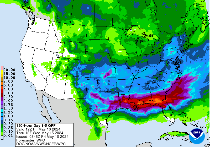
90% Now Upgrade to Colin or TD3 Soon. Recon Going In. Looking for Exact Center. End Game Still Florida
90%
Pulling it together finally.

Expecting upgrade sooner rather than later.

Looking pretty impressive.
Meh no more.
BAMN!
Beautiful explosion of energy.
http://www.esl.lsu.edu/imagery/atmosphere/gulf-and-tropics/WV/
Wind reports from buoys are near Tropical Storm force
Watch the last few frames and you can see the future movement.

Everything angled to the NE.
Depends on forward speed.
How far North up into the GOM Colin gets.
Models holding onto Florida as the ultimate vacation destination for Colin.
Models show some possibility of stronger than expected.
Next model run on that should be better with better data from recon
New models out soon.
Recon will give us a better picture

Other models show do show further S but they are not the main ones.
Another good image from a good met.
I'll update later today when NHC updates 93L
Advisories should start later today.
Sooner rather than later.
Perhaps go with TD
Then Colin later.
See what NHC sees soon.
Read the previous post that has much Hurricane History.
If you are looking for analog storms.
If you are looking for analog storms.
Besos BobbiStorm
@bobbistorm on Twitter
http://hurricaneharbor.blogspot.com/2016/06/invest-93l-80-chances-of-being-colin-or.html
Ps... Again tornadoes could be a problem for all of Florida.
So do not focus on the exact path
Right based systems, weak systems are problematic.
If it wrapped up tight into a Cat 1 or 2 there would be less widespread rain.
As a weak Tropical Storm Colin... it spreads the rain and wind around.


0 Comments:
Post a Comment
<< Home