Hurricane Danny Heads Towards Islands & PR FL & Bahamas Beyond That.... Small but potent. Hebert Box in Play.

The 1st Hurricane of the 2015 Season Forms
Small, but potent storm with classic lines

When we say SMALL it's confusing.
Let me explain it.
The tight, bright, white center IS the Hurricane Winds.
The large beautiful curving bands is the overall hurricane..
The banding is part of the hurricane.
It has a large pocket around it that screams HURRICANE!
But, the SCREAMING WINDS OF A HURRICANE
ARE SHOW BELOW

Understand?
Storms far away in its bands can cause damage.
High Surf pushed towards shore can do damage.
But it's the core that has the hurricane winds.
One silver lining may be that the NHC has forecast a weakening.
Danny will be facing stronger shear as he nears the islands.
Small cyclones can whip up and fall apart fast.
They are harder to predict in ways.
Let's think of Danny as a souped up version of the car below.

Kind of a Golf Cart on steroids...
They drive, they get you where you are going...
It's a car, has an engine, been in one... zoom zoom.
My ecological minded son uses them in Seattle.
He works for Amazon. He loves working at Amazon.
I wasn't gonna tell him "no way are u out of your mind?!"
So.. I got in the car.......we took it to the Space Needle

Parked it ..walked around...
He used his APP.. took another one to the Starbucks Store.
You could then take it to Alki Beach

Nuff said.
Small but a car.
Hurricane Danny is small but a Hurricane.
I say this because the TWC is waxing poetic on how SMALL it is.
They are making a BIG deal about how small it is.
Never make fun of a HURRICANE...
And, where Danny goes the next storm may go.
And, there will be a next storm.
Hurricane Danny will also go through the Hebert Box

Read up on this box and why people in MIAMI need to pay ATTN.
http://www.hurricanecity.com/hebertbox.htm
Note...not ALL storms that go through there hit Miami.
But, many huge hurricanes that have...have gone through there.
Jim Williams is very specific on details.
It must be a hurricane going through the box.. I believe..
We are talking really MAJOR Hurricanes and S FL.
Danny is not. But, you never know...

from www.hurricanecity.com Read the whole story..
And it is also a pattern in my mind, shows a pattern.
In the same way I say...where SAL goes...
Hurricanes often follow.
It's all about the flow of the atmosphere.
Hurricanes follow the flow in the atmosphere.
Danny is a Hurricane as I said before the 11 AM came out

Note how that long curved band on the bottom sucks up heat and energy below.
The water to the South is warmer, devoid of SAL
Hurricane Danny sucks it up like a cold coke on a hot summer day.

Discussion from the NHC was EXCELLENT at 11 AM.
ALL of it!

Note a few things with regard to the next 5 days.
1... They nudged the track a bit to the North. Will that trend continue?
2. It is forecast to possibly weaken before landfall.
3. They are not forecasting it to be a Major Hurricane.
4. Models finally agree...in the short term.
Again small solid hurricane is a hurricane never the less.
Also they can find an environment where they blow up later.
A small drink of Absinthe will leave a memorable effect.
Sometimes small things pack big punches

I've never tried it personally.
But have a few writer friends who have...
..I trust them.
Just a bit is all that's needed...
Packs a punch that lasts.
So don't downplay the threat from Hurricane Danny because he is compact.
As Crown Weather said at 5 AM
" . . . how strong will Danny be when it reaches the central and northern Lesser Antilles by late this weekend . . ."
http://crownweather.com/ and that really is the question. So far recon hasn't even dropped a dropsonde. Expect tomorrow's NHC forecast discussion to be more exact filled with details. The devil is always in the details.
Its easy to get lost in staring at the loops.
Looking at long range tracks.
In the last 3 days the GFS hit
Bermuda
South FL and the FL Keys
GOM Coast
I mean really let's focus on this weekend ...
....then we can see what we can see.
I will talk "possibilities" but the Islands are in the Cross hairs right now.

Let's look back at the old map I posted.
It's the area now in the red circle that needs to pay attention NOW.
Wind Probs for Islands directly in it's possible path
(I say possible as it is a small storm so someone gets it)

Barbados still has low probs
The small hurricane is forecast to go north of it.
Mariner's 1 2 3 Box is below.
Read up on it more, shows the WHERE and the WHO needs to listen up.

The drama of Hurricane Danny fighting back ...
....from almost being a goner is shown below on the 12 loops

Enhanced IR shows the inner core and is.. pretty.
Easy to watch as well as seeing what else is happening.

Let's talk on what else is happening.
An area in the Atlantic EAST of the Carolinas has 60% chances.
Next named storm would be ERIKA
Erika in any form, tropical or subtropical...
...could affect steering currents of Danny down the line.
A note for Miami people... and most of South Florida.
Often times small hurricanes are underestimated.
In 1950 Hurricane King slammed into Miami.
Cuba did not destroy it and the Florida Straits nourished it.
From my blog back when...

Cleo not this small was also a small hurricane.
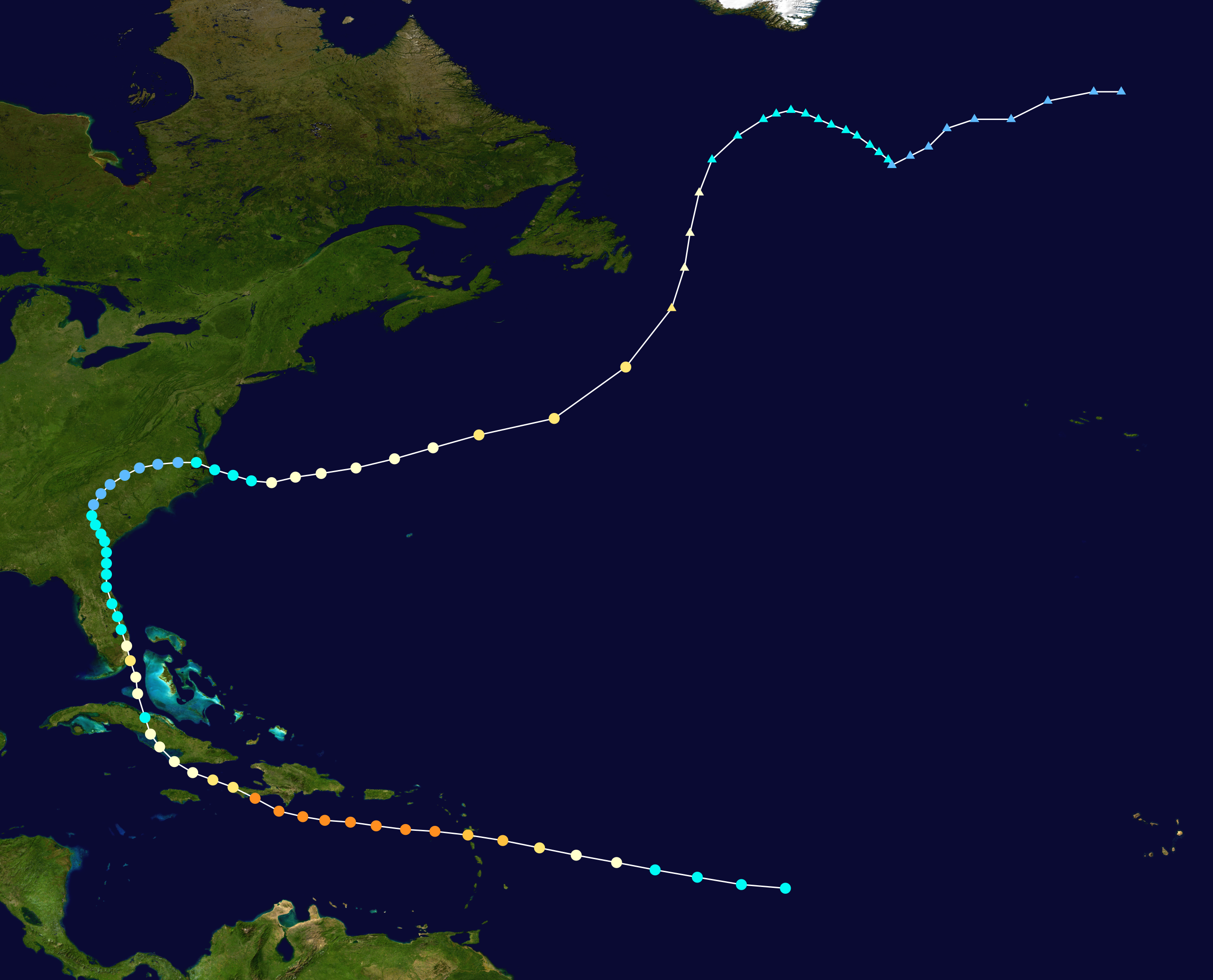
What is odd is that the track of Cleo and King has matching segments.


Right now I'd go with the top end of the tracks...
Note the Turks are in the Wind Probs from the NHC but with low probs.
How fast before the Florida Keys, Cuba and Florida are in them ??


Besos Bobbi
Ps... Models DISAGREE on Intensity Forecasts.

Hope Cantore comes on and talks on more than how small Danny is..
Size doesn't always matter.
Elvis was a preemie twin, his twin died.
He survived.
Posted on www.canetalk.com
http://canetalk.com/2015/08/1440031252.shtml

They came from 2 different places.
Different storms.
Same segment of track.
Cuba did not destroy it.
Miami got slammed.
Cleo followed a similar track to Danny.
Similar as in... very different from Carla or Hugo.
If you live in South Florida don't laugh Danny off because it is small.
Or because some models currently forecast it to die in the Carib.
Wait.
Watch.
Read.
Stay tuned.
I'll talk on models later today.
The models will be more RELIABLE tomorrow evening.
AFTER getting good data from recon.
www.spaghettimodels.com has all the models.

The most relevant one to watch right now is...
Right now I'd go with the top end of the tracks...
Note the Turks are in the Wind Probs from the NHC but with low probs.
How fast before the Florida Keys, Cuba and Florida are in them ??

As for the around the tropics.
The Tic Tac Toe of this not so quiet El Nino Year.
I've put in yellow the salient points... you know the drill.

Stay tuned.
I will update later today with more model discussion.
And, some thoughts from some of the brightest meteorologists..
...who don't work for the NHC.
For now enjoy Hurricane Danny.
He's the star of the Tropical Atlantic today.

NOTE WAVE OFF OF AFRICA
HAS A 20% Chance Currently...
In motion:
Ps... Models DISAGREE on Intensity Forecasts.

Hope Cantore comes on and talks on more than how small Danny is..
Size doesn't always matter.
Elvis was a preemie twin, his twin died.
He survived.
Posted on www.canetalk.com
http://canetalk.com/2015/08/1440031252.shtml
posted by BobbiStorm @ 9:25 AM
![]()


0 Comments:
Post a Comment
<< Home