OMAR FORMS TOO!! NANA FORMS IN CARIBBEAN. --------------TD 15 Still 15. TD 16 Forming?? Recon Going Into 99L New Wave Over Africa Still Has 40% Chances. Flooding in Raleigh & NC Area ... Search & Rescues Going On..

OMAR and NANA
2 More Names Crossed Off the List.
Updated as of 6:30 PM just for the record Tropical Storm Omar formed off the East Coast on it's way out to sea basically forecast to be a Tropical Storm for a day or so and Nana currently has 50 MPH winds with the same cone and basic info. Note NHC Discussion for Omar showing a minimal Tropical Storm.

I got nothing to add.
Being honest.
Long day at a long funeral in the hot sun...
...for someone who was like a part of the family.
It was very hot, very, very hot.
Especially wearing masks and socially distancing.
Wet ground, the red clay dirt looked even darker than usual.
Crepe Myrtles in bloom nearby.
There's a stone for Ella waiting to add Victor's name.
It's a Jewish custom to leave a stone by the grave.
But in Carolina people leave both shells and cones.
I left a stone.... from a beach trip a while back.
And a small round nautilus type of shell because...
... just seemed right.

So long day.
African wave at 50 percent ...
...and it's not even off Africa.
So I'm going to take a long rest.
I'll be back in the morning.
Keep preparing for the Hurricane Season.
It may have been busy with names...
...but soon it will be busy with dangerous hurricanes.
Do what you can now to prepare.
Later.. Bobbi
Blog from earlier today when they named Nana.

So that question was answered.
As I said ealier Recon went in...
...Nana now exists.
Cone below.

Nana forecast to become a Hurricane!!
Nana may make it into the Pacific!

Models keep this out of the GOM...
But not out of the Pacific.
So those of you worrying..
..can breathe a bit better for now.
Take 2020 one day at a time!

As for TD 15 it's going out to sea...
We got lucky with these two though Nana may cause serious problems in Central America that can have huge problems from a wet tropical storm due to elevation, valleys, hillsides that go whoosh filled with mud from tropical systems so keep some good thoughts for those wonderful people in that beautiful place that Nana does not bring misery.
I want to say something here that is important to remember.
Yes, we have had a very busy season and yes most of the storms were weak and barely lasted for more than a day or two but that does NOT mean that the storms of September and October will be weak or short lasted one day wonders. I'm concerned about a hurricane headed towards the SE coast later in September and everyone from Miami to Charleston thinking it will just turn away like the rest of them. People let their guard down and denial sets in and no one wants to believe a Major Hurricane is about to make landfall, and the current patterns in the atmosphere make that a real possibility. I don't believe North Carolina has seen the last year of hurricanes and worried the 3rd time could be a serious problem. As for those of you up along the Mid Atlantic and in the NE many signs point to a possible encounter of a tropical kind so please do not let your guard down because we have had a procession of mostly weak storms; let that one Major Hurricane that slammed into Louisiana be your wake up call that the real peak of the Hurricane Season may deliver hurricanes that continue to pound people already overwhelmed dealing with Covid and financial issues brought on by Covid. So stay vigilant, stay prepared!! Stay on top of the NHC, your local NWS and your local weather experts as well as those you have come to trust online with knowledge and experience and do not let your guard down.

I'll update after 5 PM.
Never forget those waves off of Africa........

15 is not yet Nana but we are waiting.
Recon is going into 99
The area OVER Africa has 40% chances...
...waiting for it to get into the ocean.
Time will tell...

Showing the cone and the models below.

Not much to say on 15 it's out to sea.
99L moving West through the Caribbean.

and on Instagram took that picture.
It explains the problems in NC today.
Going to think Global (Africa)
And talk local (NC)

Flooding in Raleigh last night was a problem.
Some sad water rescue stories.

It's a very sad story, pray they find the children alive.
Smithfield isn't IN Raleigh.
But it's part of our area...
But here Crabtree Creek overflowed.
Roads that dip down under over passes..
Raleigh has a lot of new residents...
...they don't know where to stay away from.
And you know ...you always figure you'll be okay.

That's downtown Raleigh by the train station.
I'll update the blog later today after 11 AM.
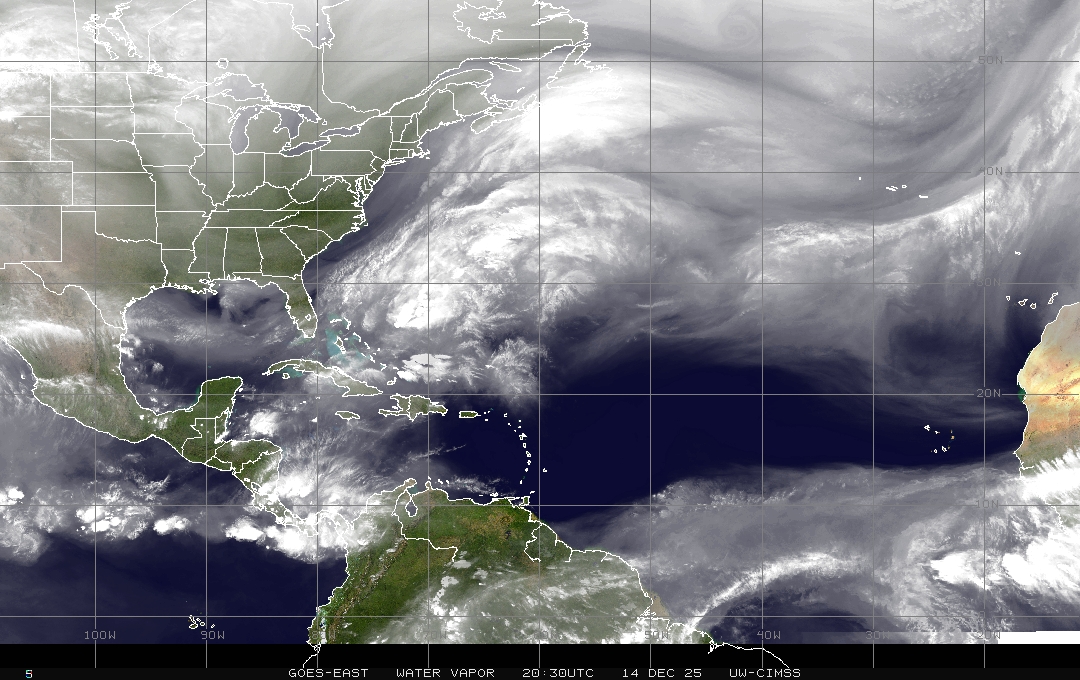
The water vapor image shows how moist it is.
Remember back in July when there was dry air..
We are officially in September.
I'll show models and discuss the tropics then.
Waiting on recon and the NHC to upgrade.
Oh and recon headed into 99L
Stay safe, stay happy!
Besos BobbiStorm
@bobbistorm on Twitter and Instagram
I'll update later today at the top...
...with any breaking news.
Here's a video...there's music.
It's relevant....
Ever been in a Hurricane Hunter plane?
I have... huge, cavernous, awesomeness.
posted by BobbiStorm @ 6:35 AM
![]()


0 Comments:
Post a Comment
<< Home