Tropical Depression One-E Forms in the EPAC... Maybe TS Alvin ... Watching Moisture in GOM and Waves. Nothing Expected in the Atlantic but...Things DO Pop Up Sometimes.
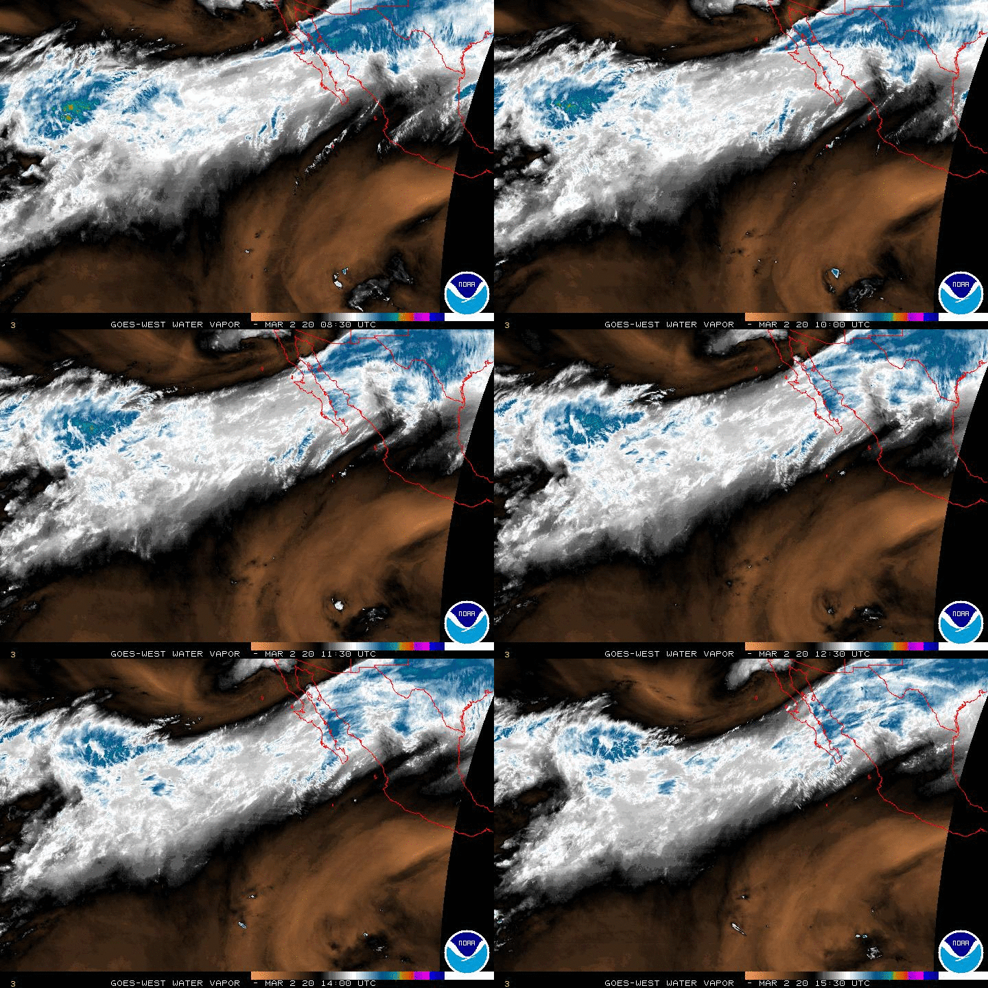
In motion below.....

There's our intrepid TD One-E in the Epac.
Pushing into the dark, dry Pacific.
Even has a little spin there.
Not a very hospitable environment.
And that's why they have such low expectations.
Could briefly attain Tropical Storm Status.
If so the name would be Alvin.
Perhaps Barbara will be a hurricane.
There is model talk a second storm would follow.
Let's take it day by day.
As for the Atlantic .....
Normally the Epac goes first.
Then you count 7 to 10 days...
There's no exact science to that ...
But it happens often enough.
Not that the shear from One-E is disruptive.
It's weak.
Stay tuned and keep making those lists..
... Hurricane Prep is the name of the game now.
I know... but trust me.
Before September we will have hurricanes.
But Come September... watch out.
July is Tropical Storm territory usually.
Models show areas of possibilities in the GOM.
Something weak... bubbling up.
Like a character in a Shakespeare play.

Sure a lot of moisture moving into the GOM.
A cute little Upper Level Low in Caribbean.
Quieter today than yesterday.
And the ghost of our wave moving West across the Atlantic.
Stay tuned.
Besos BobbiStorm
Follow me on Twitter and Instagram @bobbistorm
Ps.... In a generous mood and a little under the weather today.
So.... going to play you a Chicago song.


0 Comments:
Post a Comment
<< Home