Updated! 5 PM TD 11 Still Forecast to be Tropical Storm Josephine by the NHC - Forecast to be TS Josephine by the NHC........................Got Her Red Dress on & Has 90% Chances of Development. Usually that means NHC working on a Press Release...
Still a TD at 11 PM.
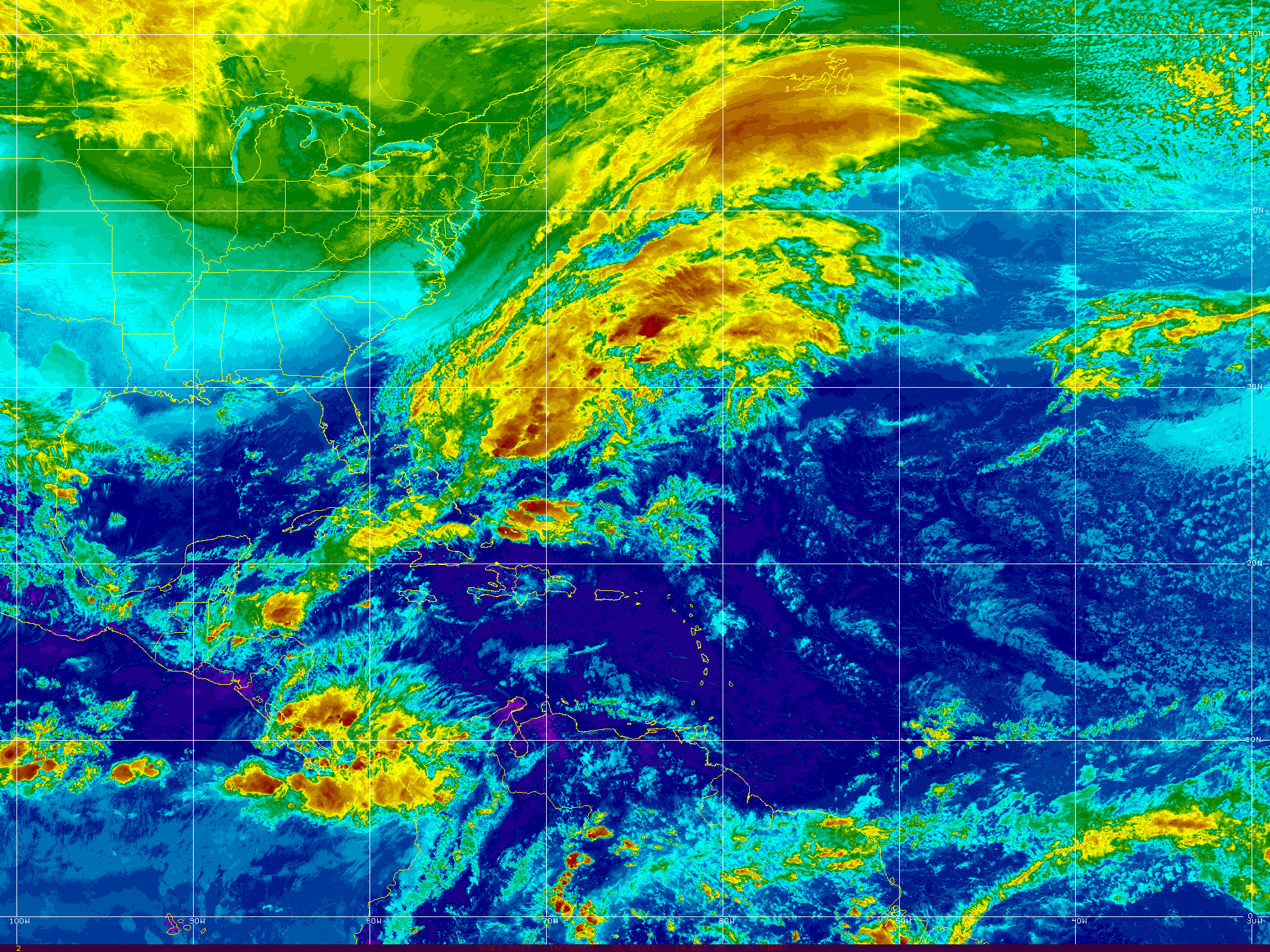
Some interesting images.
Cone below, similar to 5 PM.

Really doesn't look that bad for a TD.
Solid circulation.
Strong convection.
Odd sort of beak poking out to the West.

The ever popular cone.

So that's the 11 PM update on TD 11
August 11th, 2020
(yes I am fascinated by that a bit)
Again I want to remind you not to buy a farm or swamp land based on the first few advisories on any MDR Tropical Depression that recently rolled off of Africa. Models imply it may not survive while other models take it further West closer to the Islands while yet others find it catching a second wind as it curves more to the NW after crusing past the Islands. We know now that conditions will threaten it's existence and we will know soon how tenacious this system is and if it's a fighter. Every storm is different even though their formation location is similar. So monitor it and enjoy the relative quiet knowing that as we get deeper into August and move into September the systems will be hurricanes and Major Hurricanes will appear at an annoying rate if forecasts are correct and most everyone sees the season evolving that way. You know what to do and now is the time to do it so that should one threaten you and you need to evacuate or debate going to a shelter or just simply expect to be without electric for a week or two ... know your options.
Nice graphics from Twitter so using it here.
11pm advisory on #TD11 is in and here's the latest....expected to become #Josephine as early as tomorrow but battle shear & dry air! #WESHwx pic.twitter.com/zScQHK6NiU— Tony Mainolfi (@TMainolfiWESH) August 12, 2020
Compare and contrast with 5 PM below.

There's the cone for TD 11.
Born on August 11th.
Just saying.
Seriously.... facts are below.

It's good enough for TD.
Ascat pass and convection at the center.
NHC upgraded.

It's not flashy or impressive looking.
But impressively better than yesterday.
Being centered is important.
I want to say this about TD 11 and that is to remember it's too early to say "it's a Fish" or "it won't make it" because models do hold onto it for a while and between here and there many things can happen. It doesn't have the large juicy envelope that ISAIAS had but it's got an impressive core firing off convection and for a while it has some room to breathe. At some point it hits shear and I've seen shear forecasts be way too off this year to buy into any shear forecast. It's moving steadily along, the Islands will need to watch it, specifically those on the NE side of the Islands, but it should cruise past them. It's been a year with too many predictions of "quiet time" and "nothing happening" or shear forecasts that went bust and models that didn't see a tropical storm until it became a hurricane. So let's take this one day at a time and see how it evolves over time. The NHC discusison does bring it to Tropical Storm strength and so we should have Josephine soon and then the next name is K so this is par for the course for 2020. It's closer to Africa than the Islands and when they are that far out I wait before sticking my fork in it or using chopsticks or running to the store to go shopping for hurricane supplies. Okay kidding on the hurricane supplies because Covid I have most my basics stocked up. How bout you?
I was looking at some long range models and I have to tell you that if things continue the way they are forecast I do think the last week in August brings a Labor Day Storm somewhere (really hope I'm wrong) and September will be a September to remember.

And keep reading I left y'all a song.
TD 11 is here indeed for the party.
And use this time wisely to prepare for the rest of the season.
Please.
Oh and NHC made their announcement first!
What an odd day and now we are zoom, zooming away.
TD 11 forecast to be Tropical Storm Josephine!

I made this video a little while ago.
Watching loops today.
Watching loops. #95L pic.twitter.com/IsoXmBhvjP— BobbiStorm (@BobbiStorm) August 11, 2020
So will update at the top with it's statistics.
Coordinates, discussion.
The big question is can it stay alive?
Strong shear down the road.
It will be tested.
Such a drama always......
I owe ya all a song. I'll go with this one. Seems TD11 is here for the party....

What's amazing is when you go to the wide view....
...of the whole basin.
There it is... Invest 95L
Trying to get a name.
Next name up is Josephine.
Our Invest 95L is RED
You can see that for yourself without the NHC.
Up close it's centered.
It stopped running with the pack.

Compare from Monday.

Again the blob to the left was fools gold.
The orange x was 95L
Far to the right was the next wave.
The wave is still there off Africa.
But 95L moving faster.
And the wave that hasn't come off is interesting.
More on that later.

See the difference from above.
Science is all about comparing and contrasting.
Reviewing the facts.
Coming to conclusions.
Last night I made this video.
Late last night half asleep.
But awake enough to know..
95L was ready for prime time.
Convection over the center was the key.
Tired. Went to sleep late. Woke up too early looping old school loops. Next wave new wave its all tropical waves to me. There are wave and there are hurricanes with eyes. We ain’t there yet but day by day we get closer #Josephine #kyle out there eventually. Sweet tropical dreams pic.twitter.com/PQ2bjyLFX7— BobbiStorm (@BobbiStorm) August 11, 2020
So I'll update later today. Let's see if the NHC upgrades to Tropical Depression later today. Time will tell and I'll be here to tell more of the story. Thanks for reading. Oh you want models?

Could be a Fish.
But I never call them fish.......
.....this far out.
Stay Tuned,
Besos BobbiStorm
@bobbistorm on Twitter and Instagram.
Ps I'll add a song later.
All I could think of today was 50 Cents...
..Places to go.
My son's music beating in my head.
Hmnnn lemee me think on it.
posted by BobbiStorm @ 6:27 AM
![]()


0 Comments:
Post a Comment
<< Home