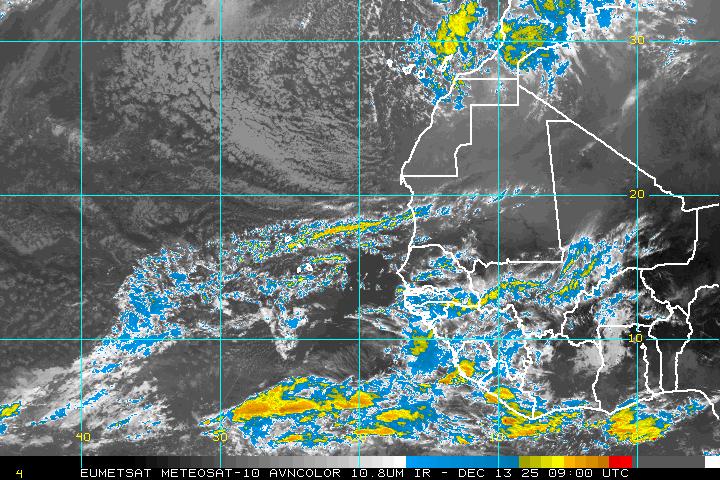
70% Chances of Matthew Forming in 5 Days. Headed Into Caribbean If You Believe Long Range Models. Just a wave right now.
70% Chances of Development within 5 days.
Would be Tropical Storm Matthew

What do you see?
Karl exiting at the top of the screen.
Huge ULL over Florida.
Diving air, shear.
Oh there's a wave bottom right.
Center bottom in the Atlantic Intellicast Image below
Up close:

I'd show you the floater but as yet there isn't one.
Imagine tomorrow or later tonight.
I know you want to see the models.
Discussion on the tropical wave's possibilities down the road online
Understand there is a disconnect between what might be and what will be as well as what is today. Currently we have a large, strong wave with enough model support for 70% red circle in the Atlantic expecting development within five days. This is getting a bright red fancy Fall cloak because the models love it and when I say models I mean ALL the A Team Models. I'm going to wait to see what the next run show but as of now... all 3 of the big models (yes there are more than the Euro and GFS that are important) so I'll update details tomorrow. For now we are watching the wave that lacks some convection but has strong model support. When I say they love it I mean they love the conditions down the road that support development, often that changes in real time.
As I said often the last few days as we move later into September we watch the Caribbean. Some systems form there from old frontal boundaries and others come off of South America but many are waves that wander West across the Atlantic from Africa. I've said over and over that Hurricane Camille came from such a wave even though it's official start was in the Caribbean. Now days we'd have known what Invest Camille was before it formed. It's a new world in many ways in tropical meteorology. We are or have become a model driven world. Sometimes something forms and other times the models are wrong but if we had another Camille out there somewhere we'd be on top of it before it burped an explosive hot tower on it's way to development.
Right now this is what is in the Atlantic

So let's stay grounded, focused and keep watching.
Stay tuned.
I'll be here also.
Besos BobbiStorm
@bobbistorm on Twitter
Sweet Tropical Dreams
Ps Best thing to do now is watch the frontal boundaries.
If it gets into the Caribbean ...
...and if there is a front that would bring it North.
Those are the IFs so watch this below


0 Comments:
Post a Comment
<< Home