The Uncertain Future of TD7
There is much speculation tonight about the future of TD7 as to whether it does or doesn't make Tropical Storm status or whether it dies out in the Eastern Caribbean.
Official discussion from the NHC reads a bit like a Soap Opera... it's fragile and might need life support or some counseling, not having a good time... opening up and exposing it's center while at the same time showing more convection. I never thought it looked good ever... but ...time will tell.
DEEP CONVECTION HAS INCREASED SINCE THIS MORNING...BUT THE OVERALL
STRUCTURE HAS NOT IMPROVED. IN FACT...THE LOW-LEVEL CIRCULATION
MAY BE ELONGATING...AND IT IS HARD TO TELL IF THE CENTER IS
EVEN CLOSED ANYMORE. THE CYCLONE IS BEING KEPT AS A 30-KT
DEPRESSION BASED ON DVORAK ESTIMATES OF T1.5 FROM TAFB AND SAB.
THE EVIDENCE APPEARS TO BE MOUNTING THAT SIGNIFICANT
INTENSIFICATION WILL NOT TAKE PLACE. THE DEPRESSION WILL BE MOVING
INTO A HIGHER-SHEAR ENVIRONMENT SOON...AND THE LGEM AND SHIPS
MODELS SHOW VERY LITTLE CHANGE IN STRENGTH FOR THE FIRST 48 HOURS
OR SO. THE GFS AND ECMWF HAVE ALSO BEEN IN CONSISTENT AGREEMENT
THAT THE CYCLONE WILL DEGENERATE INTO AN OPEN WAVE IN 2 TO 3 DAYS
OVER THE EASTERN CARIBBEAN SEA. GIVEN THE CURRENT FRAGILE STATE OF
THE DEPRESSION...AND THE UNFAVORABLE CONDITIONS THAT LIE AHEAD...
THE NEW NHC FORECAST BRINGS THE CYCLONE TO A 35-KT TROPICAL STORM
BEFORE IT REACHES THE LESSER ANTILLES AND THEN SHOWS DISSIPATION
INTO A TROUGH OVER THE CARIBBEAN SEA BY DAY 3.
Out to the East ...far East, near Africa our Orange Circle is battling the same conditions that did Florence and others in...
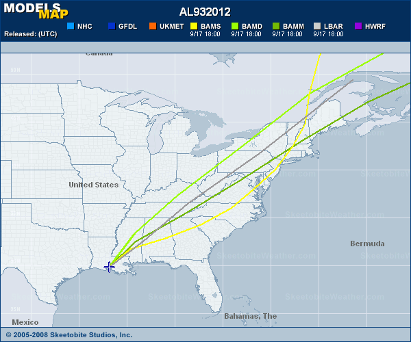
Models are beginning to look like an Etch A Sketch gone mad... interesting to see some models bend it's track back south again... who knows....
As they talk on killing off TD7... the remnants of Florence are now forever joined together with another trough that will cause rainy day misery to someone probably in Miami.

A lot of moisture swirling around, yet nothing big to write home about... just yet.

Something I do want to mention here is the crazy weather in NEW ENGLAND today... and across Long Island. Severe weather, tornado reports, plane delays of over 4 hours. There has been and there is a tremendous amount of hot water off the NE coast and there is more cyclonic twisting over the Great Lakes than there is in the Gulf of Mexico or Caribbean. Frontal boundaries are moving down. It feels more like the very end of August than the beginning and I keep thinking it's a ripe year for another storm to make it up towards Long Island and New England.

Just something to think on....
Besos Bobbi
posted by BobbiStorm @ 3:42 PM
![]()


0 Comments:
Post a Comment
<< Home