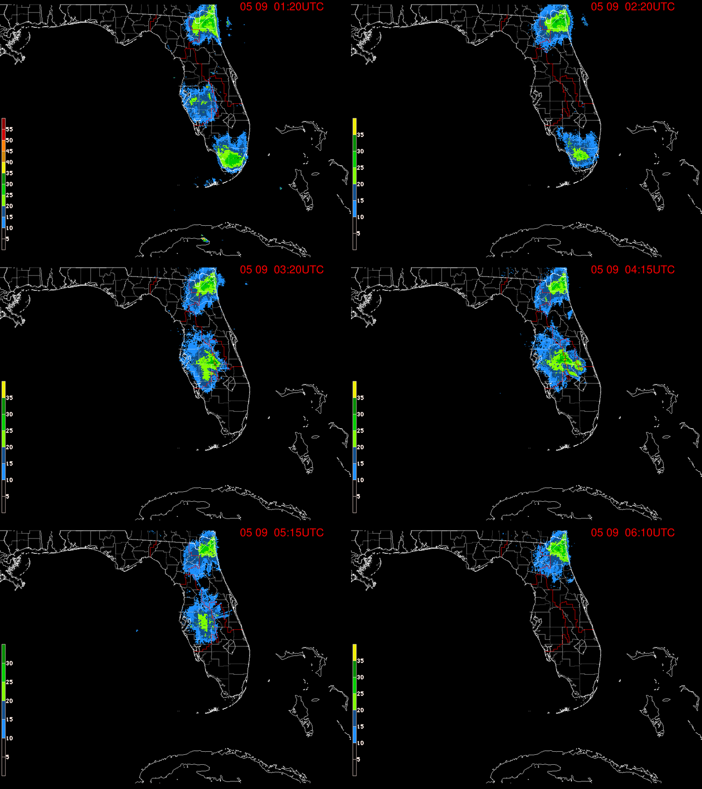
UPDATED INVEST 90L Is Arthur Forming Over the Florida Straits? FL Keys & Cuba Getting Heavy Rain. NHC Places Orange X 70% in 2 Days Red Circle Up for 80% Invest 90L Where Are You?
What John said........
... Flood Advisory.
Key Deer Blvd under 10 to 12 inches of water.
For an Invest this system is an over achiever.
Yes we have Invest 90L now!
INVEST 90L
Official.
Recon goes in tomorrow.......
Invest means they are investigating.
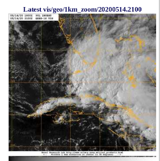
Studying it .... one image is below.
Aqua Modis Infared.
Each view shows something else.
Note the green blob over the FL Keys?
They had some serious flooding today.
More on that later.
X Marks the Spot.
Red X in next 2 days now.
70% chance in the next 48 hours.
Sooner rather than later rule in place.
Up to 80% chances in the next 5 days.
Curious what Recon finds.
Also note the wording they use.
Generally NE
When they say "generally" they are leaving the door open.
More or less, mostly NE.
Some models show this moving closer to the coast.
Then the models were before.
Depending on where it's starting point is...
...is where the real cone will be drawn.
So as always everything is fluid.
A video I made earlier.
Two actually.
First Invest 90L
@hurrtrackerapp my thoughts on your observation. Look at that high. pic.twitter.com/EUabAT8QWn— BobbiStorm (@BobbiStorm) May 14, 2020
Then my thoughts on the 2020 Season
Long term thoughts on #2020 #HurricaneSeason healthy #tropical waves for May. They are always low in May but as the zone lifts of shear forecasts are correct we will have long tracking #hurricanes turn sound up for discussion. Pretty loop. pic.twitter.com/JrUobWPylf— BobbiStorm (@BobbiStorm) May 14, 2020
And note my son did an Instagram Live.
Beautiful Property on Grove Isle.
But the weather in the background...
as the warnings were coming in.
You can find him on Instagram.
Compass Realty
Coconut Grove Florida.
Dreamy unit...
..views of the Bay from the bedroom.
Sweet.
Impact Windows.
Can watch the weather any time.
I wish I could buy it.
A bit out of my price range.
But stunning pool on the canal.
With a view of Biscayne Bay.
I'll update later if needed at the top.
Below is from earlier.
Gonna go make dinner...
Officially this is where we are today.
Orange X in the Florida Straits.
40% in the 2 day.
Below we have the Red Badminton Graphic.
Showing us simply where to look down the road.
Understand it's a GRID.
So where it forms in that grid.
Tells the story.
Let's look at Earthnull.
Change the filters...
...thank you Cranky for instruction!
Takes a while for a storm to come together.
The many parts that will become a whole as a tropical disturbance is in the formation stage so we watch and wait pic.twitter.com/AEUgwQ6oXv— BobbiStorm (@BobbiStorm) May 14, 2020

Look at that spin.
You can find this loop and others ...
He's also got a YouTube Channel.
Runs radars and satellite loops.
Check it out!
Said yesterday I'd post links...
...to some of the best people to follow.
So doing that today in real time.
I'll post more tomorrow.
@hurrtrackerapp ode of thanks. You’re awesome. pic.twitter.com/j3ldpErOZ6— BobbiStorm (@BobbiStorm) May 14, 2020
Before I go on here into deeper discussion I want to remind you to follow them on Twitter and download their App so you will never be surprised if something pops up on the News. And, even if you know more about meteorology than me know they are good at being two steps ahead always and that means they are six steps ahead of your local news that waits for the official forecast from the NWS that has already been put out in multiple places but you can control the information you receive always. You are in control, remember that both regarding the Covid-19 Virus AND Hurricane Season.
If you are like me or many of us you know your best local forecasters on air, you know who you trust online and you watch with your own eyes. Case in point. I have a best friend Sharon who is very good at understanding satellite loops and she has an extremely analytical scientific brain and no matter how many times someone on the local Miami News insisted they knew weather and posted the forecast track of Andrew to turn up the coast and head for the Carolinas rather than Miami. She kept saying "watch that front, that is not a strong front" now mind you it was August and if you have ever been in Miami in August you obviously fell for those great deals where they try to sell vacations to Miami to people who have never lived in Miami in August. Locals know it's rare for a cold front to be that strong anywhere South of the Mason Dixie Line to know Cold Fronts like to stay "Up North" in August...up above Virginia and Maryland if they stay alive at all but that was the forecast. Forecasts again are predictions based on models and yes they were not great models but at the time people thought they were all the bomb... The forecast bombed, the satellite imagery showed the front falling apart and the ridge building in and as you know they adjusted the forecast. She felt vindicated when she called me up on the phone screaming "Put on Norcross!" and well you know the rest of the story. Norcross was and is respected because it tells it like he sees it even if it doesn't jive with the official discussion put out and he explained why he didn't buy the forecast completely.
So here we are... waiting and watching while this tropical entity crawls through the Florida Straits bringing heavy amounts of rain to the Florida Keys and waiting for it to emerge into the spot that the NHC had circled the other day for "within the 5 day" now we have orange circles in the 2 day and we have hedged from "it's going out to sea" to "it may come close to land" to my local weather people on Spectrum News (Weather on the 1s.. every 10 minutes how good does it get??) have now said that it may scrape the coast so we need to watch it in case.... in case it doesn't follow the original forecast. Because as we all know... weather evolves in real time. Yes, the general location is there and the general track is there but let's look at Dorian. What if Dorian did her slow dance over Bimini instead of Great Bahama Let's look at two images and well to be honest Bimini would have been on the news and Miami would have suffered the way Gary Hart did when he took a short cruise over to Bimini way back when.
So move the eye of Dorian, the well defined eye...
To the SW just a little bit.
Move it over Bimini.
The dot not far from Miami and FLL.
Same general location.
What a difference a hundred or so miles can make.
Luckily Dorian stopped on a dime.
Before finally making the turn.
Happens.
Doesn't always happen.
For Florida's sake let's hope it keeps happening.
What will happen with our tropical disturbance?
It's raining heavy in the Florida Keys.
Wish I was there........really.
Love chasing storms in the Upper Middle Keys.
But I digress... because I'm in North Carolina.
And often the storms come to my beach ...
Could the future Arthur do that?
We'll see.....
We'll see.....
Another great person to follow.
And he's honest and explains his logic.
There's much logic in what he does.
And he reads satellites like my friend Sharon.
Excellent video.FINALLY AFTER SOME WIFI TECHNICAL DIFFICULTIES— DaBuh (@DaDaBuh) May 13, 2020
LATEST VIDEO FORECAST UPDATE....https://t.co/j9NDetPHnO
Below is Rob from www.crownweather.com
Speaking of well trusted meteorologists.
Rob is a meteorologist and a good one.
He's always looking at the whole picture.
Not just focused on what may become Arthur.
But possibilities for mischief in the GOM soon.
Later vs sooner but who knows.
Lot's coming together right now...
He's also good at commentary also.
If you don't know what MTV is.....
...that Gary Hart reference went whoosh over your head.
We evolve.
Arthur might be forming and evolving.
Time will tell.
I'll update this afternoon with models.
Want to see the next set of models.
And watch what happens in real time.
1 and 1 and 1 is 3.
Sweet Tropical Dreams,
BobbiStorm
@bobbistorm on Twitter and Instagram
I'm on Pinterest too... always forget that one.


0 Comments:
Post a Comment
<< Home