Dolly Does Mexico... African Wave Has 30%

The big story today ...the numero uno story is Tropical Storm Dolly in the Bay of Campeche headed towards Mexico. Most models take towards La Pesco, Mexico though there are chances it could pull a drop to right or left of there depending if any impulse reaches down briefly and grabs it to pull it north or pushes it a drop more to the south. We'll know more later today. You can watch the Upper Level Low behind it swirling like a dark hurricane pushing through the Florida Straits pushing the High Pressure west and pushing Dolly along with everything else towards Texas. No wildly strong cold front is plunging down to grab Dolly and she is doing what most BOC systems do... they put their head down and pound their way towards land as if they were a great full back trying to gain enough yardage for a first down. They are different from Cape Verde storms that are more like awesome wide receivers that catch difficult passes and run the length of the field for a touchdown.
CORPUS CHRISTI 34  1   1( 2)   1( 3)   X( 3)   X( 3)   X( 3)   X( 3)

GFMX 270N 960W 34  2   1( 3)   1( 4)   X( 4)   X( 4)   X( 4)   X( 4)

BROWNSVILLE TX 34  6   8(14)   1(15)   X(15)   X(15)   X(15)   X(15)

GFMX 250N 960W 34 22   2(24)   X(24)   X(24)   X(24)   X(24)   X(24)

LA PESCO MX    34 19  32(51)   X(51)   X(51)   X(51)   X(51)   X(51)
LA PESCO MX    50  1   8( 9)   X( 9)   X( 9)   X( 9)   X( 9)   X( 9)
LA PESCO MX    64  X   1( 1)   X( 1)   X( 1)   X( 1)   X( 1)   X( 1)

TAMPICO MX     34  3   3( 6)   1( 7)   X( 7)   X( 7)   X( 7)   X( 7)
(It's a pretty set story here and happening fast in real time)

Yup... going to Mexico...
https://www.youtube.com/watch?v=1o9A8YYkxjw
Story #2
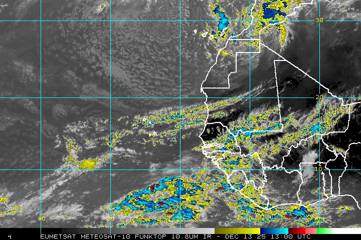
Orange circle up in the East Atlantic for a westbound tropical wave. Don't get too excited just yet, as we have to see if it will make it across or recurve in the Atlantic. There is the opportunity for it to recurve if it intensifies enough to be caught up in the atmospheric river of air. If it stays weak it goes west.... and ends up on a beach near Puerto Rico most likely. But, it is there and some models do like it.
Not much to see there right now...

But this could change... so keep watching.
Spoiler Alert... behind the lead wave is way better wave......
Yep... it's finally September. Good ole Remember September.
One should always remember September in the tropics.
Good to forget old boyfriends .. dangerous to forget it's September in the tropics.
What's that old saying.. never run after a guy or a girl there's always another one coming like buses. Or like tropical waves lined up like planes on the tarmac at JFK ready to take people to Puerto Rico
on cheap deals in the tropics where they may or may not run into our tropical wave while on vacation.
Keep watching.
I know it seems quiet right now in the Atlantic and easy to think we can just write off this season, but I wouldn't think that's a good idea. Truth is because of current weather synoptics it's very probable that South Florida and possibly the Carolinas will have a tropical threat in the next few weeks. Let's say around September 16th, 17th something should show up and threatened through the end of September. Towards October I'd worry about storms being picked up in the Caribbean by cold fronts and plowing into South Florida where they have already had record rainfall amounts. It's very common in years where there is a lot of rainfall in the summer for the door to Caribbean Cruisers to come cruising up from the southwest. Most people do not know this but South Florida gets hit more from those sort of Tropical Storms and Hurricanes than they do the more feared WNW bound Cape Verde Storms. Just a heads up...
Story #3 could be a home grown system hiding off shore in the strong Upper Level Low or something that spins up on the end of a cold front. There is reason to believe that both could happen... Remember what I called the "dark hurricane" has moisture embedded in it. Long shot but always worth watching.

So enjoy your blue skies today while you can as tomorrow you may be standing knee deep in the water somewhere... or buying hurricane supplies at Publix.
One great thing about being in NY is listening to the new country station Nash Country. Love it.
Besos Bobbi
Ps... here in Bayswater watching the water...the tides coming in and going out and planes taking off at nearby JFK. Awesome view really. This yard was way under water in Sandy.. just so you see how things come and go...
https://www.youtube.com/watch?v=UJbG7256ZLY
Going out....somewhere... but a beach will be involved....
Remember what I said about September Remember.... I meant it!


0 Comments:
Post a Comment
<< Home