Forecasting Euclid the Elephant aka Christmas Storm Like the 7 Blind Men Story
It's hard to get a feel for this storm while watching the weather as every weather person and source seems to be forecasting a different part of the storm.
It's one storm....sort of like the infamous Elephant.
There are many components and many areas to watch for possible problems.
It's a 3 ring circus or possibly a 2 ring circus with another ring opening for a midnight showing.
There are multiple cities which will have different sorts of weather and several highways that will be affected!
http://www.wordfocus.com/word-act-blindmen.html <--- elephant="elephant" link="link" olde="olde" p="p" story="story" to="to" ye="ye">

Euclid the Elephant has several areas to watch as a hole it is bigger than it's parts.
And, are you worried where Twisters might hit in the middle of the night or... are you worried where you may suffer accidents and troubled travel going home after Christmas dinner?
Do you want snow or are you worried on freezing rain or icing on bridges at night as you travel home? Twisters in the south?
Hail hitting your new Lexus or Mustang that you got as a Christmas present from Santa?
Possible power outages from straight line winds just as you go to put away the leftovers in the freezer?
Midnight tornadoes in Northern Alabama?
Severe storms in Columbia SC or Fayetteville NC?
Take your pic?
But, if you are worried on twisters in Montgomery Alabama and they are covering snow in Oklahoma City and possible storms in New Orleans when you turn on TWC you are going to miss the story you need to know the most about.
And, if you think the storm known as Euclid the Elephant is a Christmas Day event... you are right and you are wrong as it's also a Wednesday event in the South as it moves out of the Deep Coastal South and moves North... up the coast Thursday.
If there was one storm to name so far this winter... it IS this storm, however had TWC not christened it with the odd name of Euclid.. it would still have been known as the Christmas Day Storm of 2012!
So, I'm going to break this down like Caleb Weatherbee might in Ye Olde Almanac.. but I am not going to to do it in zones as much as along Interstates as that gives you the information you will most likely need as you travel home from where ever you might have gone to spend Christmas.

This is the Southern Part of the storm that most weather people are worried will be affected by possible twisters and other types of severe weather... hail, lightning, terrible driving weather.

The area from Houston east to Jacksonville all needs to watch out.
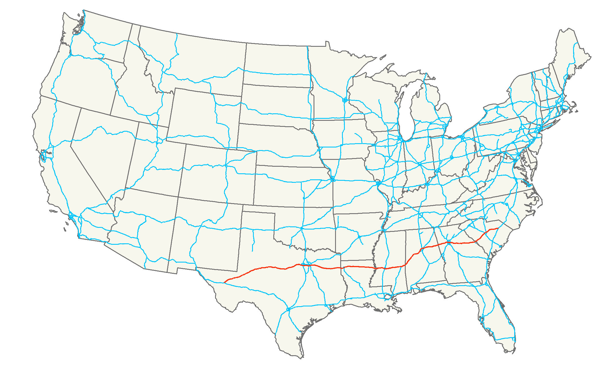
This can be seen in one of my favorite images... the red is where it will be most severe:

Note ALL of Alabama is in Red.. as is Louisiana. Even if you drive safe, you could easily get caught in a bad traffic jam as an accident up the road is cleared away. Good luck... or stay another day if you can..
Note the storm is winding up ...up near the I-20 in Oklahoma and Arkansas:

There is a currently a line crossing through East Texas that has tornadoes possibly embedded and several cities currently have a tornado watch and there are even a few tornado warnings out there.
Houston/Trinity/Polk all have Tornado Warnings. Good site:
http://www.texasstormchasers.com/
No one does Nola like Nola.com..
http://www.nola.com/weather/index.ssf/2012/12/tornado_watch_until_1_pm_for_m.html#incart_river_default

So...Houston, Lake Charles, New Orleans... eastbound and down all the way through Mobile and ALL of Alabama into the Panhandle of Florida... be careful.
www.weather.gov
Put in your Zipcode and see what your weather of the day is.. if there it's been colored in.. pay close attention!
Will look a lot like this:

Moving up towards I-20.. Shreveport is in the thick of it.

Possible rotation and hail there ...
Possible tornado has touched down.. reports coming in...
Also, College Station watch out this morning.
I think I-20 could see the worst of it even though everyone is watching I-10.
Perhaps the more sexy cities like Nola are more fun to cover on TV and catch our attention?
Then again ... Dallas always gets attention and Dallas will get weather as the storm moves East.
In the Atlanta Metro Area there are multiple problems.
Rain, Possible Tornadoes and something few are mentioning... FOG in the evening. As most people drive home in the evening ... that's a feature that is getting lost in the shuffle as we look for twisters.
THIS HAZARDOUS WEATHER OUTLOOK IS FOR NORTH AND CENTRAL GEORGIA.

.DAY ONE...TODAY AND TONIGHT...

...WIDESPREAD DENSE FOG THIS MORNING...
...SEVERE THUNDERSTORMS LIKELY FOR PORTIONS OF WEST AN SOUTH TONIGHT...

WEATHER HAZARDS EXPECTED...

RESIDUAL MOISTURE FROM EARLIER RAIN WILL LEAD TO THE FORMATION OF
WIDESPREAD DENSE FOG TONIGHT. MOTORISTS ARE URGED TO USE EXTREME
CAUTION. REFER TO THE LATEST DENSE FOG ADVISORY.

ISOLATED TORNADOES...DAMAGING WINDS...AND LARGE HAIL TONIGHT.
Next...
THERE IS A SLIGHT RISK OF SEVERE THUNDERSTORMS LATE TONIGHT MAINLY
IN THE CSRA. DAMAGING WINDS ARE THE MAIN THREAT. A FEW TORNADOES
ARE ALSO POSSIBLE.

.DAYS TWO THROUGH SEVEN...WEDNESDAY THROUGH MONDAY.

THERE IS A SLIGHT RISK OF SEVERE THUNDERSTORMS WEDNESDAY ACROSS
THE REGION. DAMAGING WINDS ARE THE MAIN THREAT. A FEW TORNADOES
ARE ALSO POSSIBLE.
Columbia, South Carolina...
- TonightRain, mainly after 9pm. Low around 54. East wind 6 to 11 mph. Chance of precipitation is 90%. New rainfall amounts between a quarter and half of an inch possible.
- WednesdayShowers and possibly a thunderstorm, mainly before 5pm, then a chance of showers and thunderstorms after 5pm. High near 64. Breezy, with a south wind 16 to 25 mph, with gusts as high as 43 mph. Chance of precipitation is 100%. New rainfall amounts between a half and three quarters of an inch possible.
Note the whole area from I-10 to I-20 is a mess...
Off the grid I am covering for areas in my region... is the geographic area that correlates with the New Madrid Fault... it's a mess and a strong warning has been put out for this region...

Choose a city... any city in that area and take it VERY seriously..some areas here rarely get blizzard warnings. This is NOT Postville, IA... it's south of the normal snowstorm warning areas.

Thems a lot of warnins' there...take em real serious. No joke...
Memphis... you're in it and in it big time.
Moving north from I-10 the whole area on Wednesday is horrible.
Mind you if you are out near College Station, Houston, Lake Charles, Montgomery..stay put today, travel tomorrow. If you are anywhere from Savannah to Baltimore, travel sooner rather than later as tomorrow and late tonight will be sketchy at best.

The best you get is 60% chances of rain in the south...
90 and 100% from Rocky Mount, NC all the way to Trenton, NJ
90 and 100% from Rocky Mount, NC all the way to Trenton, NJ
slow going, multiple accidents at best.. and could be much worse.
Snow begins around Delaware (this could change) and continues north.
Southwest Air...Travel Warnings
http://www.southwest.com/html/advisories/swa_travel_advisory_201211241356362490489.html
If you were planning on flying out of or into these airports...check with your carrier!
http://www.dallasnews.com/business/airlines/20121221-midwest-blizzard-leads-to-some-american-airlines-southwest-airlines-flight-cancellations.ece
More updates to follow....
Storm still developing...
stay informed...
Besos for Now..
BobbiStorm
posted by BobbiStorm @ 8:05 AM
![]()


0 Comments:
Post a Comment
<< Home