Hurricane Harbor

A writer and a tropical muse. A funky Lubavitcher who enjoys watching the weather, hurricanes, listening to music while enjoying life with a sense of humor and trying to make sense of it all!

Monday, September 11, 2023

Updated 5 PM Lee... Increased Threat For Some Impacts in NE- ALso BEACH Impacts to NE.. CANADA... Bermuda Gets Surf Maybe Wind... Lots of Maybes .....it's Moving at 7 MPH, Might Slow Down... Models change. Stay Alert, Monitor It. Long Range Models Show ?NIGEL? May Replace Lee Prime Time in the Tropics

Forward speed 7 MPH still.
115 MPH


Cone touching Cape Cod.
Does it touch Maine at 11 PM?
Questions on Coastal Impacts

https://www.nhc.noaa.gov/text/refresh/MIAPWSAT3+shtml/112041.shtml See if your city is in the Wind Probabilities... JFK, Long Island, CT ... well you get the idea. Winds will be far from the center so do not look at the center.


NRL Map shows a wide shaded area.
If you are in the shaded area pay attn to LEE
In the red circles stronger Cane winds.
Again at high latitudes winds spread out....
... beach/coastal impacts could be deadly.
Obey all local warnings.

Lee spinning at 5 PM

****keep reading please****

8 AM


Dvorak image of Lee at 7 AM
Trying hard but messy
Open on the bottom.
The white is the core.
The real storm.


Fronts to the left like the cavalry coming.
Lee center stage.
Not discussing Margot here.


I took the day off yesterday, I didn't blog, I didn't loop much and I took a Fall/Football holiday. Went out with my husband shopping at Trader Joes, Wegmans and Food Lion searching for things I need for the Jewish New Year over the coming weekend and my patient Yankee husband didn't blink while I put red sunflowers and gold sunflowers and mums into the basket along with brisket, Maple Bourbon Syrup and some baby pumpkins. He's lived down here for about 35 years, but he was raised in upstate NY. We are just different down here when it comes to Fall and Football. Also, Fall and Football coincide with the height of the Hurricane Season. Carolina Panthers lost, the Miami Dolphins won, I got alot done and Lee looks like it hasn't moved since the weekend began. Yes it is a Major Hurricane once again, won't take that away from it. If you go back you'll see I said it'll spin/dance East of the Bahamas in that area where Hurricanes slow down, stall and do their thing before the steering currents kick in and it moves North finally. When it moves North it'll probably move FAST, but it's crawling today.


It is moving at 7 MPH 
SEVEN

So before I talk about models and forecasts, let me say this about SEVEN miles per hour... a lot may change between now and when it starts moving again at a normal speed. Intensity wise it surges, intensifies, falls apart again looking crappy then pulls it together briefly looking like a shadow of it's former Body Building Self when it was a Cat 5 Hurricane. It's as if it goes on a bender, drinks, eats junk food, sleeps it off then wakes up deciding it's going to only eat Paleo and Organic food and gets a huge burst of energy after sipping Bulletproof Coffee looks great and then collapses again off the wagon.  And, the Lee you see today is NOT the Lee you will see when it's moving up between NC and Bermuda on it's way to either Cape Cod or Halifax. As it moves North towards the front up in the North Atlantic it will be a 2023 Hurricane as they all seem to want to go to Nova Scotia. 


This is Lee. It's moving NW at SEVEN MPH.
Fluctuating in strength.
Creating deadly beach hazards.
And a pain for ships at sea.

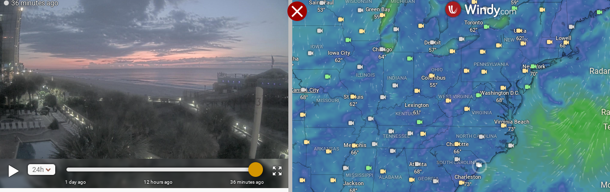
Before I show models for Lee I want to be clear on a few things. Lee is not your typical "normal" hurricane, and as time goes by it's going to expand in size with a small area of thunderstorms and a huge wind field that will kick up surf, waves and make the beaches a deadly trap for people who are sure they can swim in a hurricane. Professional surfers know what they are doing, unless you have surfed all over the world in high waves ....you do not know what you are doing. There will be beautiful fresh air, windy weather and wild waves and/or swells moving towards the beaches all along the coast but strongest up the coast near where people say things like "I'm not afraid of a hurricane, we have Nor'easters" and stuff like that. 

Let me explain this clearly for every person in New England.... if you have ever been in a Cat 4 or 5 Hurricane such as Andrew at the beach or the 1935 Hurricane in the Florida Keys... or even a strong Cat 2 or 3 on Key Biscayne in late August....you have no clue how much stronger a real hurricane is compared to your regular strong Nor'easter. I love Boston, I love Maine, I love snow and I love the Red Sox but what you get Up North there is NOT a real hurricane. It's the leftover remnants of what was once a beautiful, photogenic, scary monster. 

Lee, if it gets as close as some models show it will .... will deliver deadly beach impacts for people who drown because they thought they knew what they were doing or tried to save someone who thought they knew what they were doing.

It's not going to be the Category 5 it was in the middle of the very Tropical Atlantic Ocean deep down in the Tropics. 

That said..........be careful, be aware and stay safe.

That said.........there may be beach erosion and the ever compelling picture of some beach home built on stilts falling into the ocean. 

IF it takes the current West side of the  models there may be impacts on the end of Long Island, Cape Cod and all the regular stormy, picturesque points of land that jut out into the ocean. 

Wind Probs begin around Ocean City, Maryland moving up the coast towards JFK airport, ISLIP and the rest of the regular places that show up in Wind Probs when a hurricane that looks more extratropical or like a huge Winter storm/Hybrid Storm slides North up the Atlantic Coast. Not a Deep Tropics Cat 5 Hurricane but the field of the waves/swells is from Ocean City, Maryland all the way to Bermuda. Wind probs change on every advisory, they are an indication and a caution for areas along they way that might get tropical storm force, gales or hurricane wind. Again it's moving at 7 mph so much will change between now and then. 


WAVES SWELLS 
DEADLY BEACH IMPACTS

Gonna be a mess for ships at sea.
Cruise ships along the East Coast as well.


Euro for Saturday.
Huge wind and surf maker offshore.
Winds far from the center so...
...winds may be wild at Cape Cod.
Compare the wind filter aove with the below.
This is the rain/thunder filter on Windy


IF this verifies, the EURO cities close to the coast.
Will get some squalls. Not the center of Lee.
But impacts.
IF models look like this in 3 days.
Why I have little patience for models...
...but I watch.

GFS below shows NE/Cape Cod
Gets weather.


A cute filter to use is the "THUNDERSTORM" filter..
...on Windy for the EURO
Shows where actual WEATHER may set up.
Again this is a concern for NE
Long Island included.
Tho it's really a Canada concern.
Each model will vary some.


Not a lot of "tropical severe weather" in Lee.
Wind, surf impacts at the coast.
As it stands now, on Monday AM.
Moving at 7 MPH.


5 AM
Do not look at the center of the cone.
It won't show you the beach/surf impacts.
And it most likely will change.
The end part of the cone will narrow.


Models from Tropical Tidbits at 7 AM 9/11
Note bottom right intensity goes down...
...eventually as it moves N towards the Front.
Wind intensity. Beach dangers.


Bottom Line:
Know it's there.
Moving 7 MPH NW
It'll turn N and speed up FAST
Stay prepared it's prime time in the tropics.


Windy has webcams. I like them.
I'm geographically geeky.
Sunrise in Myrtle Beach.
Or as I think of it MYrtle Bch.

Stay tuned.
Models come, models go.
Intensity fluctuates.
Lee is prone from intensifying fast.
Falling apart fast.
Small core.
Strange year.
Upwelling may happen ...

Lee that'll be up in the NATL
Is not the Cat 5 Lee we saw last week.

Spoiler alert.
After Lee leaves........
..we get to do this all over again.
If EURO and GFS are right.


September 20th if you believe long range models.

Kilauea erupting in Hawaii
Horrible earthquake in Morocco
Flooding in many places.

Stay aware.
Stay safe.
Remember Lee is there....
...don't obsess.
Every 6 hours new Cone.

Sweet Tropical Dreams,
BobbiStorm
@bobbistorm on Twitter and Instagram


0 Comments:

Post a Comment

<< Home