Invest 96L in the East Atlantic. Another Area off the Carolinas is Forecast to Develop. Deja Vu Dolly System It Seems But Time Will Tell.
2 areas here to observe with low chances.
Invest 96L in the East Atlantic.
And a Deja Vu Dolly off the Carolinas.
Staying with the Invest as it's an Invest.
And it'd an African Tropical Wave.
And this is actually in the 2 day not the 5 day.
First we will look at it's "thumbprint"
It's early signature on Earthnull.
Below is satellite imagery.
Here's a loop from Tropical Tidbits.
So those are our two yellow areas highlighted in the Tropical Atlantic with low possibilities of development down the road. As mentioned earlier this Deja Vu pattern with the models. A Dolly like storm develops off the Outer Banks and takes a similar track if you buy into the models. Further out into the real tropics is a strong wave with a possibility of development, but most likely we are talking short term vs long term as often waves that develop in early July struggle to form and then come undown falling apart at times. Note it's on the 2 day Graphic Map from the NHC not the 5 day so what happens with it today should tell the tale. It's tough times this time of year to get a real hurricane to develop in Saharan Dust filled skies and marginally warm water and yet it happens at times. In between the gales of dust there's an area that allows for development often, and some waves ride with dust better than others but that happens later in the season when the water is warmer. Florence was such a wave yet somehow she made it across the whole pond traveling with dust but Florence was later in the Season when the water was warmer, yet still Florence was one for the history books; belongs in Ripley's Believe It Or Not Tropical Museum. Take it one day at a time for now.

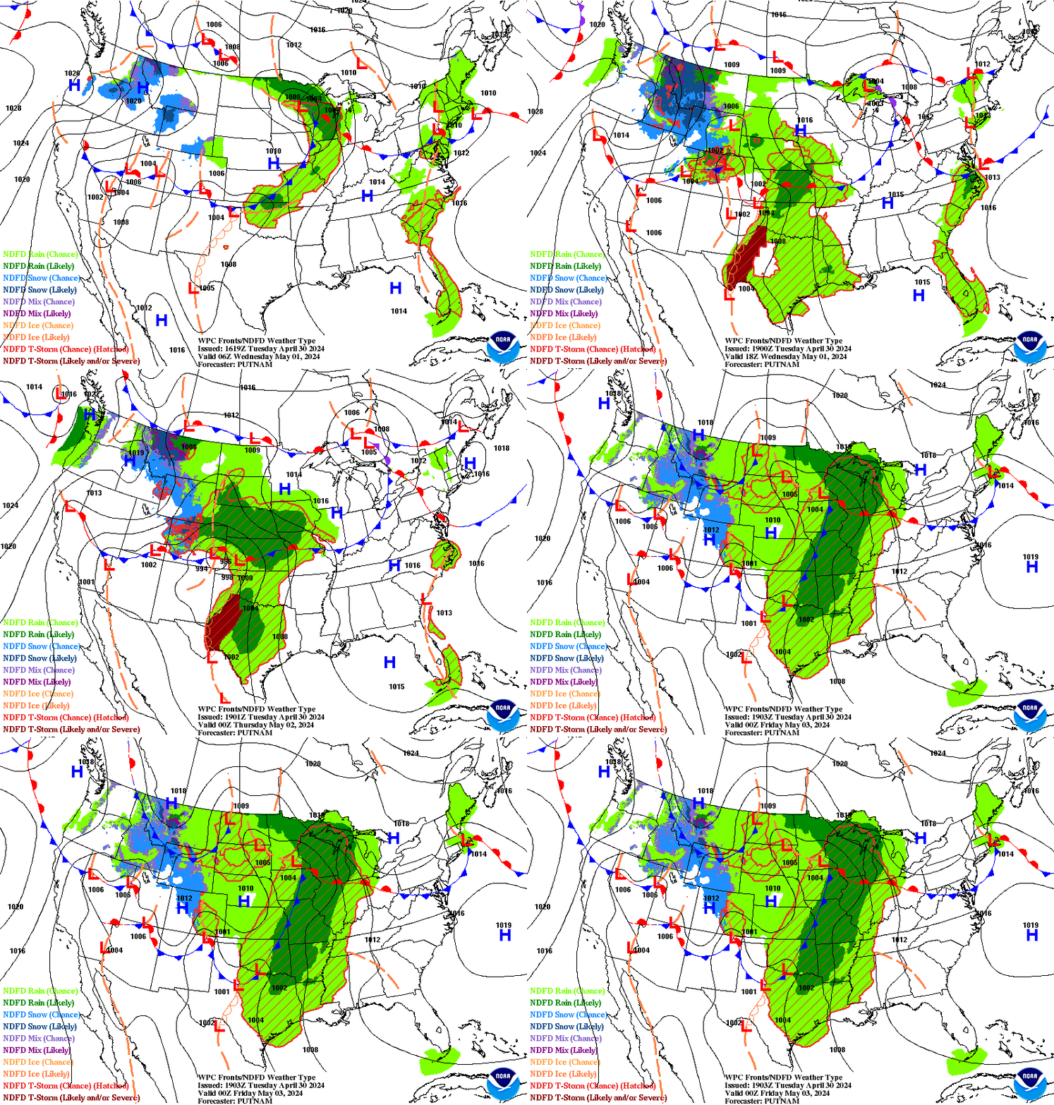
The low emerging off the Carolinas is visible in the 3 day NOAA forecast above. What is actually the funniest thing here is that if you look at the Florida Keys you see the green is stuck there; just rains and rains as it's the rainy season or is it broken or did it secede again as the Conch Nation or? Probably just rainy season but never seen anything like that ...that I remember. It's been there the last 2 days which basically means the 5 day forecast was rain, rain and more rain or just rain any time, anywhere so you've been warned.
I'm not loving the new format that Blogger is dishing out, but that's typical it takes time to learn it and appreciate it or rant and rave about it. I'm too busy today to rant and rave so it is what it is so please bare with me.
I'll update on Monday with a full discussion of the Tropics this week as we slide into July :)
Have a good weekend and enjoy it the best you can where ever you are...
Sweet Tropical Dreams
BobbiStorm
@bobbistorm on Twitter and Instagram


0 Comments:
Post a Comment
<< Home