Will Hanna form in the BOC and head towards Florida? Gonzo off to see the Queen in England...

First I want to note that it's very rare to have a hurricane still be a hurricane this far north...
Gonzalo will be one for the record books on many levels.
A hurricane to study for some time.. in a season that needs it's own book to understand.
So... give Gonzo his due. Not only did he find Bermuda.. a dot in the ocean.. he maintained status all the way to Canada and beyond.
http://bmcnoldy.blogspot.com/search?updated-min=2014-01-01T00:00:00-05:00&updated-max=2015-01-01T00:00:00-05:00&max-results=41

Note when you use the magic words and unlock the future on the NHC website you get this image.

(Really dislike this you only see me if you click concept...)
Their own text says the following:
"1. A low pressure system is expected to form over the Bay of Campeche
or the southern Gulf of Mexico during the next day or two. Some
gradual development of this system is possible after that time while
it moves slowly east-northeastward.
* Formation chance through 48 hours...low...near 0 percent.
* Formation chance through 5 days...medium...30 percent."
Online everyone is discussing it. Mike says it well.

That's pretty much so true. It's so true I named this blurb on my computer "so true" as we really don't know for sure as it's more than five days out ...but most likely SOMETHING will develop. Something called Hanna possibly...

This image as posted by Levi Cowan. I follow him. He's good. Getting better & better every day.
Shows a closed low...subtropical...quasi tropical..something kinda tropical moving towards FL.
It's a long ways away and for now we are watching.
This is the area we are watching. Note we are not expecting anything to develop right now..

At least we are all on the same page...
For now there is a cold front that is making all the news in the weather world in the South, Mid-Atlantic and generally "up north" and there is a wave out in the Atlantic and Something Called Yellow X with a 10% chance of developing into ..something. Strange year ya know..

Close up view of the Caribbean:
Clear sailing today...

So for now all eyes in the Tropical Atlantic are on the BOC and the GOM as models show that something could develop in 5 or 6 days that could... (note I said could) move NE thorugh the Gulf of Mexico vs into Tex Mex.
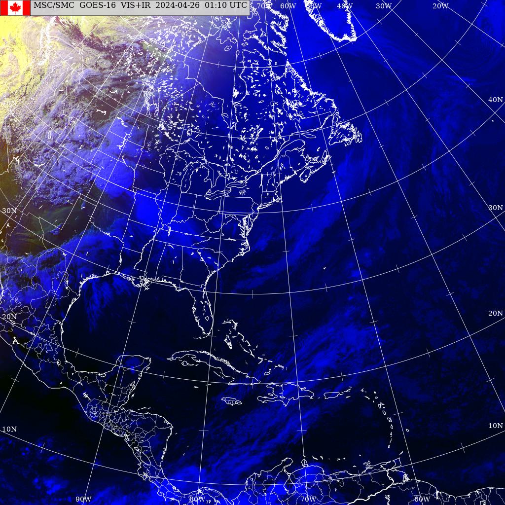
There is convection down there far to the bottom left of this image... w hile Gonzo is up in the far right.
There is cold weather in between...

Look at those readings... 55 in Raleigh and Atlanta. 66 in Nola.. Chilly October.
As for Bermuda. Thank you EVERY ONE for sending me pics of hurricane damage in Bermuda. It's an old story and I was busy with the Jewish Holidays of Simchas Torah. My drink of choice was Maple Southern Comfort ...even though I'm not the maple person.. go figure.
Memorable storm.
As no one does research better than the NY Times.. I'll show their story.
http://www.nytimes.com/2014/10/19/world/americas/bermuda-mending-after-hurricane-gonzalo.html?_r=0
Good read on Gonzo and Bermuda.
As for where Gonzo and his remnants are going... to England to see the Queen..
Amazing dynamic hurricane filled with latent pent up energy... explosive hurricane.
Category 4 Hurricane crusing on high octane tropical fumes all the way to Canada and beyond.

Extratropical maybe but still a storm that will make an impact on England and parts of the North Atlantic.
![[Image of 5-day forecast and coastal areas under a warning or a watch]](http://www.nhc.noaa.gov/storm_graphics/AT08/refresh/AL0814W5_NL+gif/143253W5_NL_sm.gif)
As I have said before when a season is slow energy builds up and at some point something's got to give.
Now we may have another storm of some kind develop and head Eastward vs Westward across the GOM. A typical late October-November pattern.
We'll see what the rest of the 2014 Hurricane Season has to offer.
I'll be back to update as soon as there is something to update.
For the rest of the day... I'll be watching the Ebola channel and NFL football...and weather loops, of course...
If you believe the CMC (often made fun of but it did see Gonzo before the other models did...) something will be headed towards South Florida from the back door that was left open by the last cold front.

Stay tuned... Besos Bobbi
Ps Last Gonzo quote....

posted by BobbiStorm @ 8:57 AM
![]()


0 Comments:
Post a Comment
<< Home