Houston Looks Like a Strong Hurricane Hit. Thunderstorm? Derecheo? WTH Really.... Power Out for "DAYS" - At Least 4 Dead. Tropical Discussion.

On the Left yesterdays damages.
On the right Hurricane Ike.

I really don't have the right words to use, nor do I want to use words bouncing around my head as to what the hell happened in Houston yesterday. NWS will do their research to decide how much was strong straight line winds and how much may have been tornadoes briefly touching down, dancing through through Houston. After Wilma, when Miami and Ft. Lauderdale had very much similar damage in downtown skyscrapers that were supposedly going to be safe in a hurricane were not. Weird Science will explain to you when wind swirls fast through skyscrapers the wind speeds can pick up faster than they would be otherwise. The wind swirls and snakes and it only takes a few windows to blow out create a debris pattern caught up in those snaking, swirly winds and basically the damages after Wilma were blamed on debris from elsewhere picking up missles flying in the hurricane wind shattering a few weak windows that should have held strong. Remember the hurricane proof glass is meant to hold up to a certain wind speed, but there's always a weak link somewhere.
KHOU tells the story.
Note the side of that building was ripped off!
Again, the research hasn't been done but this was not forecast to be anywhere near as strong as this and yes IF it was a tornado in the metro area that could account for the damages. Meanwhile, across a wide area from Houston to Louisiana there is much tree debris down and power out. What was it? What caused this sort of intense damage? Power towers are built not to fall over in strong thunderstorms nor your run of the mill weak hurricane or most hurricanes.
The take away from this should be....
Know that when a Metro area (they call downtown there the Metro area) is hit or any congested area with dense population, know your power will be out for a long time.
In 2005 Katrina hit Miami and took down a ton of tree debris and the power went whoosh in the wind. In any other year Katrina hitting Miami would have been THE big news story weather wise, but as many Miami Hurricanes do it went on to slam into Louisiana (and Mississippi) and did way more damage as it passed over the very hot water in the Gulf of Mexico and intensified into a stronger monster than the relatively weak one that took the power grid down in Miami. Rita, Wilma followed that year and one month I missed more than 2 weeks of work which as a divorced, single mother with bills to pay was not easy especially after buying food supplies for the hurricane itself. Backyward sheds were blown from my neighborhouse into mine .... typical patio screens went were ripped, ficus trees tip over and take most of the lawn with them but......being honest............the big question was "how could the power grid go down from a relatively low end hurricane not a major" and this storm in Houston drives that question home again.

In the tropics nothing is happening.
EPAC has 2 yellow circles.
EPAC has 2 yellow circles.
They may combine.
Might develop.
Wind Shear there tho...
Today's weather below:
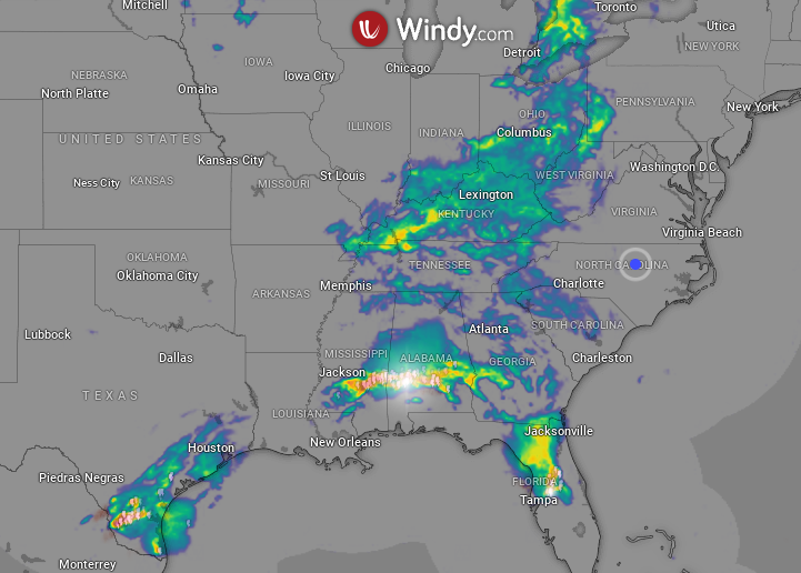
From Windy.com
.gif)
This awesome loop is from ....
Tropical Tidbits my site of the day.
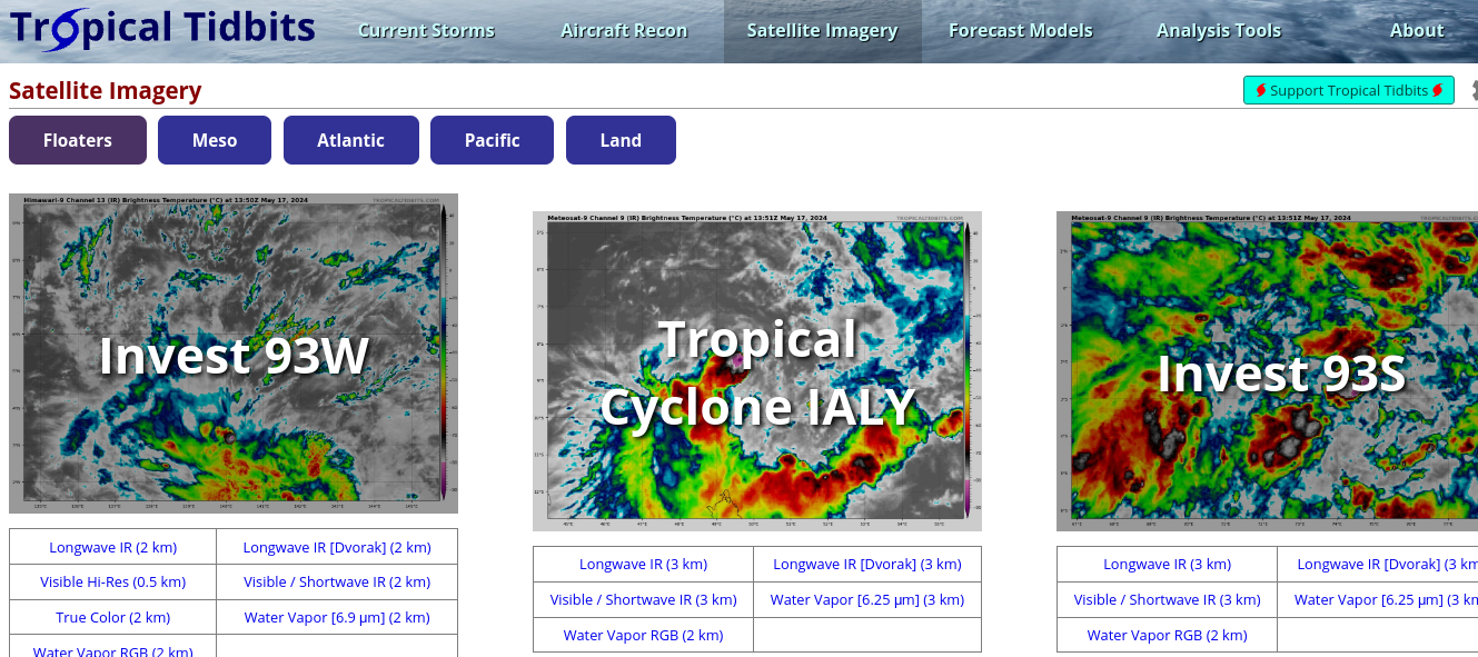
Levi Cowan's site has pretty much everything.
Satellite imagery, models and his blog.
He blogs where tropics come alive.

When it's quiet....
...good time to learn how to use the site.
It's more than just one model ...
...an awesome site by a fantastic meteorologist!
Dr. Levi Cowan.
My father was a Real Estate Appraiser and a term used often in appraisals for was "highest and best use" and that's a term you need to think on as I jokingly told Windy.com on Twitter I get used to one or two of my favorite filters and forget to use all the filters. I'm sure many of you who use Mike's site do the same thing, you have your favorite grids but did you know there are pages behind the main page and miles of links to go before you sleep!
Always watch for close in development this time of year, if wind shear weakens as the water is hot and anything can pop! But, will it pop before Mid June? Time will tell. Stay tuned!

Mike talking on smoke from Mexican Fires
Oh and special thanks to Mike, as it's better than muscle relaxers to just sit here and type and listen to Mike talking about life, weather, his daughter graduating (oh my gosh how time flies) and for people like me who have known Mike back when we were all on one or two of the few sites online on message boards, way before the world is the way the world is now. Mike's a player but he makes his work look like a game, but he works hard and he's very real and gives credit where credit is due often online, promoting others and teaches many how to use incredible sites such as Weather Nerds that is awesome but for many newbies hard to use. Many friends have told me they learn much from watching his videos so thanks to much Mike. Too much news in the world today, nice to turn it off for an hour and listen to Mike talk on Hurricane Expos and importance of getting a generator and getting hurricane supplies now while it's quiet.
The Mayor of Houston just gave an interview live and made it clear that the death toll of 4 people is currently and it could go higher.
Take Hurricane Prep Seriously!!
Besos BobbiStorm
@bobbistorm on Twitter (Instagram yeah but not TicToc... we all need to know our limits ..smile)
Ps have a bad headache, maybe a migraine so not proof reading... forgive me. Have a great weekend!!
But stay on top of your local weather as weather has been weird lately and the high heat is not making it any easier.
Since my computer suggested it...
rolling eyes ;)
Great song.
posted by BobbiStorm @ 7:25 AM
![]()


0 Comments:
Post a Comment
<< Home