TS BRET Forms in the Atlantic, PTC3 Forms in the GOM From 93L Models, Watches & Warnings.
It's fair to say 2017 is an officially busy season with Tropical Storm Bret named in the Atlantic and Invest 93L now known as Potential Tropical Cyclone 3 in the GOM. Recon found a closed center of circulation as well as robust banding to upgrade PTS2 to Bret. The link for the discussion is below. Know that it will either move into the Caribbean or possibly move onto land for a second time over the coast of Venezuela. Surviving beyond that is not something to speculate on currently, for now attention is turned to Trinidad and Tobago in it's path.
http://www.nhc.noaa.gov/graphics_at3.shtml?cone#contents
Wind Field of Bret shown below.
Watches and Warnings

In the top left of the loop above....
...you can see the shear Bret will battle.
It is possible somehow Bret survives beyond that.
For now we are just dealing with the next few days.
Most expect Bret to fall apart further into the Caribbean.
While small it was apparent Bret had a closed circulation.
Recon found it a bit away from where they expected.
They looked far and wide and found it!
Based on that information it was upgraded.
I posted the image above while recon was inside the storm.
Again Twitter works well for immediate information.
Next we move on to upgraded 93L
AKA PTC3
Pointing this out first so you can see it.
There is a center there.
However convection has not wrapped around it.
And there may be other centers.
That is why for now this is PTC3 vs Cindy.
If some of those storms begin to wrap around.
That may help it but again...
..look towards the left.
You see the shear there that it is battling.
Interestingly both systems are both battling shear.
I'm posting wind speed probabilities below.
Because a wide area along the GOM...
...may feel strong weather from maybe Cindy.
(PTC3 for now)
So every one from Houston to Pensacola needs to pay attention!
It is possible it could intensify close to land.
Water is warmest in the GOM close to land.
NOTE THE LAST PARAGRAPH
Interests along US Gulf Coast ...
Texas to FL...
Pay Attention.
A view of both systems is shown below.

Looking at the loop above you will see both designated systems are battling shear, diving troughs and having similar problems. The Eastern Caribbean is an unpopular place for a Tropical Storm to be in June and the GOM isn't too hospitable currently either. And yet the busy season forecast by many of 2017 Atlantic Hurricane Season is upon us. We may have the C storm before July begins.
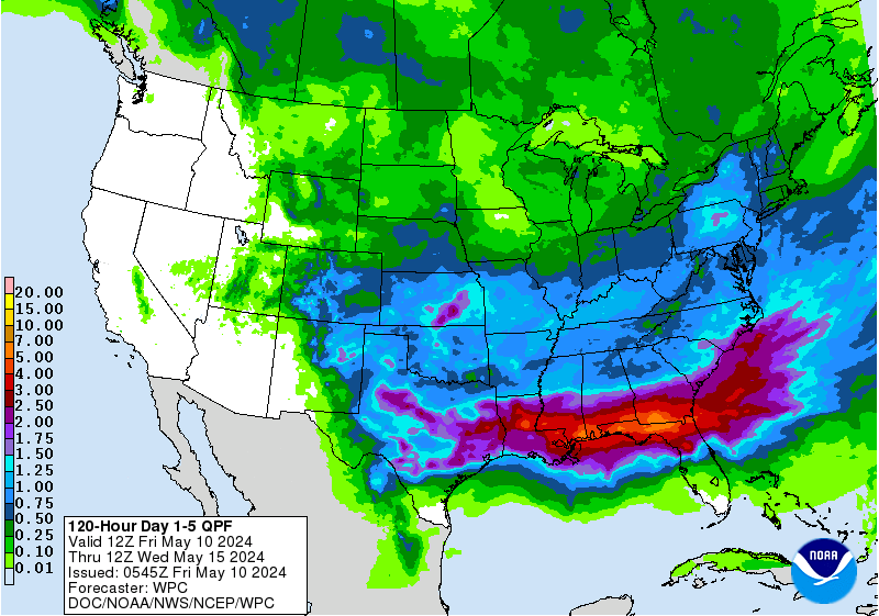
Also note the huge amount of rainfall headed North, streaming currently into the Gulf of Mexico. As this is a weak system a wider number of people are affected than if it was a well wrapped up Hurricane. And, as steering currents are iffy the exact track of PTC3 may move around about so do not look at the exact track or any one model but the whole coastline of the Northern GOM that is currently under the gun for nasty weather and probable flooding.
Rather than stare at an old fashioned cone stare at this graphic. And note that rainfall goes inland quite far. IF and when PTC3 becomes Tropical Storm Cindy and if and when it intensifies and finds it's groove we can then wax poetic on cones and exact landfall.

Watch the moisture already on the move North.

Follow the motion of convection.
Northbound for now.
And nasty weather will be at those beach towns soon.

Models come and go on exact landfall.
Currently look at the forecast for Biloxi, MS.
And, I pulled that out of the hat randomly.
Rain for the next several days.
Already a Flash Flood Watch.
If you live in the area that could be affected by PTC3 pay attention and expect to have weather problems of some kind or another over the next few days. And, because the NHC has changed the rules this year we can now properly warn people in advance of tropical weather moving towards your area that can bring life threatening conditions. More people die from flooding in tropical systems and the small towns along the Gulf of Mexico are low lying and prone to flooding. So pay attention and watch for an upgrade of this system to Tropical Storm Cindy down the road. It might not ever be upgraded, though I think it will, however the nasty weather will arrive with or without a name!
And waiting in the wings is more trouble rolling off of Africa. If you have not made preparations for tropical trouble in your area please do so. Having a plan is better than having no plan and winging it at the last minute while in a state of panic. Be #HurricaneStrong as they say and make a plan, begin buying things you may need. And if you live along the Northern GOM coast please plan on having at the least heavy rain, tropical storm force winds moving slowly across your area. Plan accordingly.
Besos BobbiStorm
Follow me on Twitter @Bobbistorm
Ps https://en.wikipedia.org/wiki/2017_Atlantic_hurricane_season
I'll update later tonight as more information comes in. Watches and warnings may be upgraded and if a center of PTC3 becomes apparent an upgrade to Tropical Storm Cindy is possible.
Labels: ABC, bret, cindy, flooding, forecast, GOM, Storm, Tobago, Trinidad, tropical, weather


0 Comments:
Post a Comment
<< Home